

Home › Canada › Colombie-Britannique › Canal Flats › 🏷️ Gratuit
The departure of the Findlay Falls Trail -- Area F (Columbia Lake/Windermere Lake), British Columbia
✍️ Suggested by Contributeur 123Go
Location Map
Description
Location situated near the trailhead leading to Findlay Falls, ideal for hiking and nature enthusiasts. Please respect the area and make sure to leave no trace.
🕐 Latest comments
Photo Gallery
🔒 Become a Contributor to see all photos and enjoy the site ad-free.
Become a Contributor
📍 Nearby Places
- Le point de vue Poor Boys 🏷️ Gratuit — Area F (Columbia Lake/Windermere Lake), Colombie-Britannique (10.0 km)
- Près des sources chaudes Lussier 🏷️ Gratuit — Canal Flats, Colombie-Britannique (14.3 km)
- Près des sources chaudes Lussier 🏷️ Gratuit — Area E (Saint Mary/Skookumchuck), Colombie-Britannique (16.4 km)
- La route des sources chaudes Lussier 🏷️ Gratuit — Area E (Saint Mary/Skookumchuck), Colombie-Britannique (17.2 km)
📖 Also Worth Reading
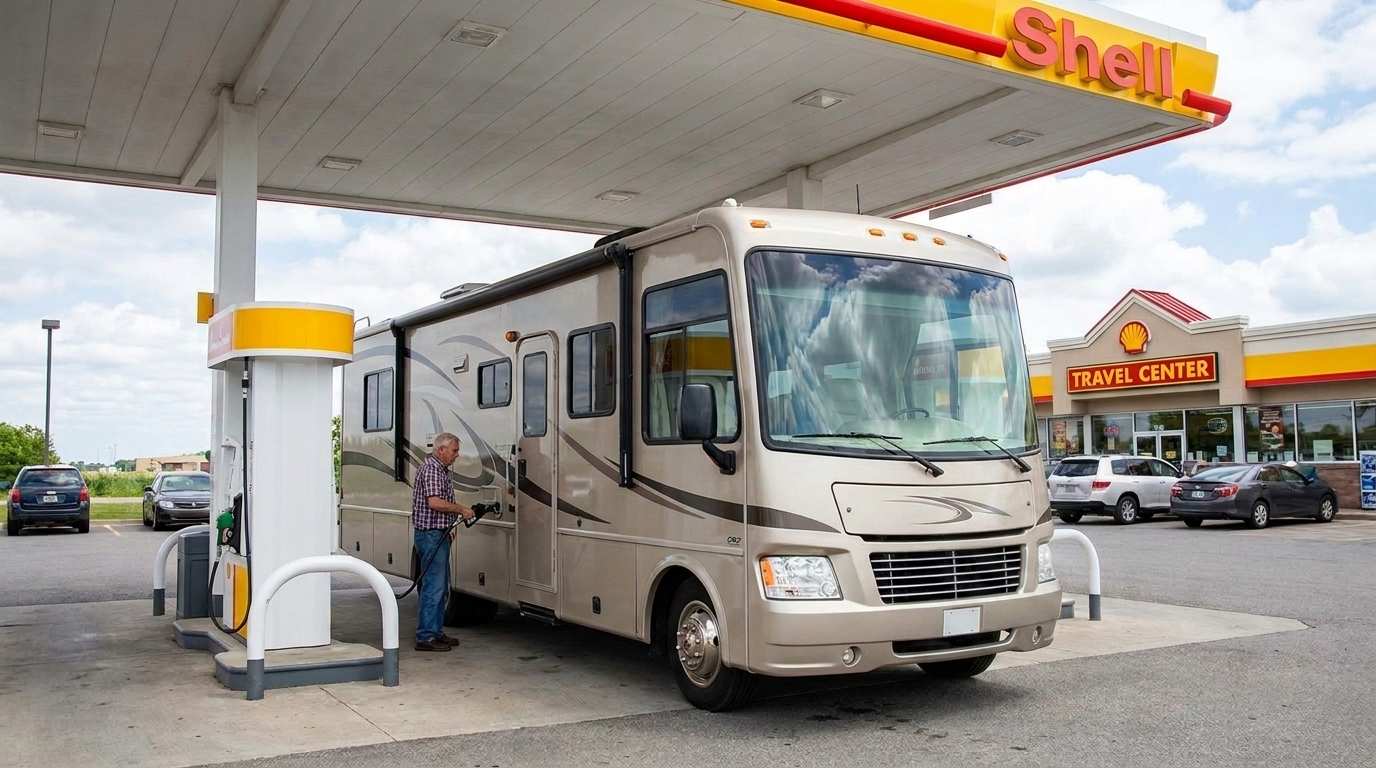
Fuel consumption calculator
Estimate your RV's fuel consumption based on distance and price per liter.
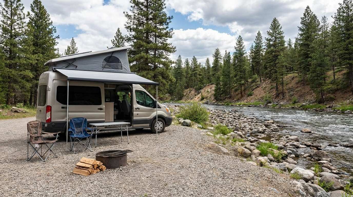
Discover free camping spots for recreational vehicles in Quebec, Canada, and the United States.
Discover the best free camping spots in Quebec, Canada, and the United States with our interactive map. Share and add your own boondocking locations!
Electricity Consumption Calculator (Ah / Wh)
Calculate the electrical consumption of your devices in amp-hours and watt-hours.

Calculateur d'autonomie selon la vitesse et le réservoir et la consommation
Estimate how far you can travel based on tank size and fuel consumption.