

Home › Canada › Manitoba › Portage la Prairie › 🏷️ Aires De Repos
Rest area — Rural Municipality of Portage la Prairie
✍️ Suggested by 123Go.Quebec
Location Map
Description
Rest area or picnic area along the Trans-Canada Highway (Highway 1), in the Rural Municipality of Portage la Prairie. Exact facilities not confirmed — check on site.
🕐 Latest comments
🔒 Contributors can edit place listings (fix a detail, add a photo...). Subscribe to unlock "I've stopped here."
Photo Gallery
🔒 Become a Contributor to see all photos and enjoy the site ad-free.
Become a Contributor
📍 Nearby Places
- La station-service Shell 🏷️ Eau Potable — Portage la Prairie, Manitoba (2.6 km)
- La Pocatiere, Kamouraska Information 🏷️ Gratuit — Portage la Prairie, Manitoba (3.0 km)
- Station de vidange Île Park 🏷️ Station de vidange sanitaire — Southport, Manitoba (3.3 km)
- Le Stride Place 🏷️ Douches — Portage la Prairie, Manitoba (3.3 km)
📖 Also Worth Reading
Blog Article
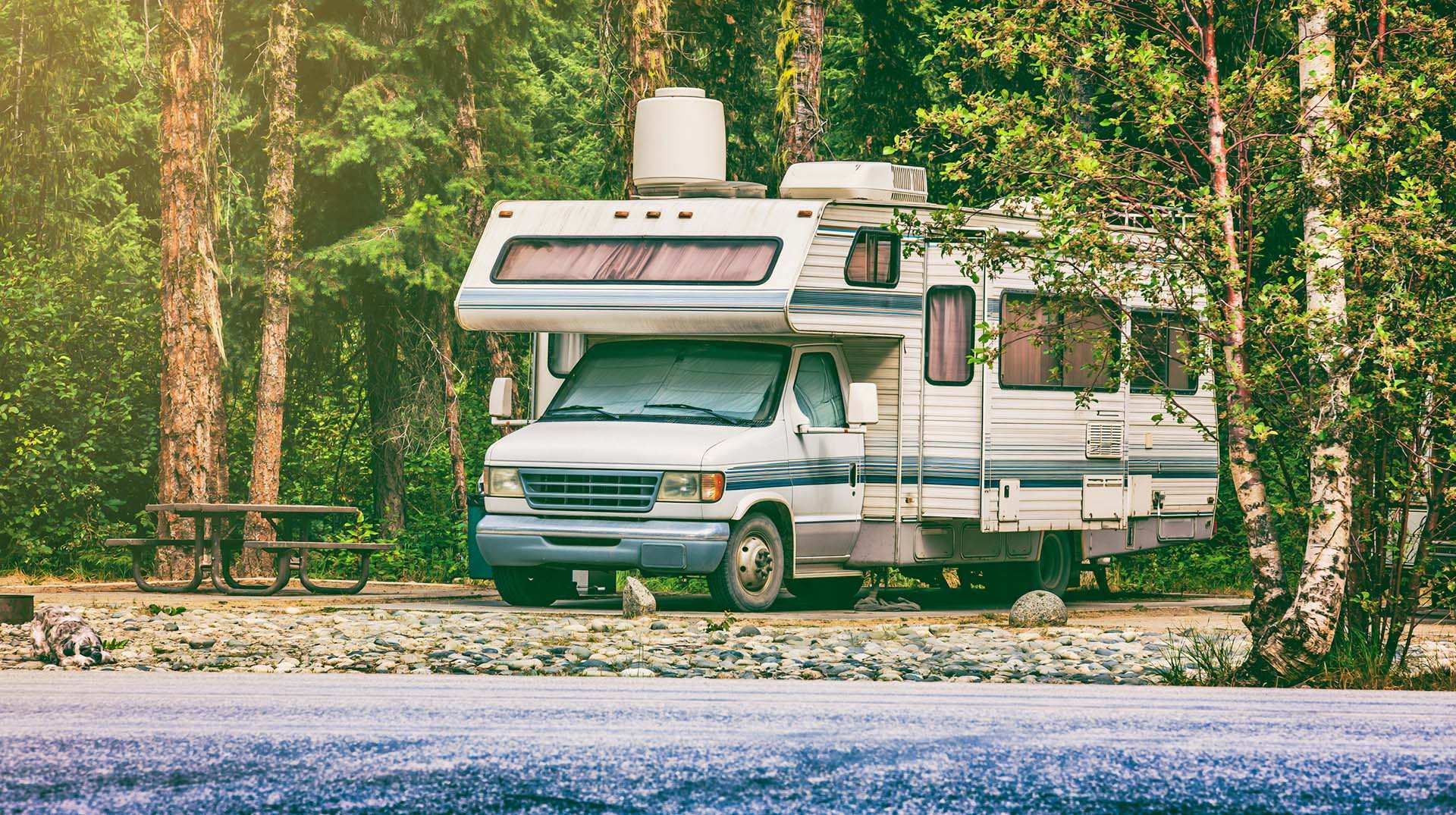
Loading weight calculator (payload)
Calculate the available payload for your RV without exceeding its maximum weight.

Blog Article
Walking Time Calculator
Estimate hiking time based on distance, elevation gain, and your pace.

Blog Article
Recreational Vehicle Battery Life Calculator
Estimate the autonomy of your RV battery bank based on your consumption.
Blog Article
Convert a distance between kilometers and miles
Convert a distance between kilometers and miles with one click.
⚠️ Rest area regulations vary by region. In Quebec (Ministry of Transportation/Quebec 511), stops are limited to a maximum of 4 hours, and overnight stays or camping are strictly prohibited. In the United States, rules and time limits (ranging from 8 to 24 hours depending on the state) vary. It is your responsibility to check local signage and rules before planning an extended stop.
Is this place closed?
🚫 Report as closed
An error on this listing?
📝 Report a problem