

Home › Canada › Québec › Saguenay–Lac-Saint-Jean › Ferland-et-Boilleau › 🏷️ Aires De Repos
Halte du Pont-Couvert (Ferland-et-Boilleau)
✍️ Suggested by 123Go.Quebec
Location Map
Description
Official rest area of the Ministry of Transport and Sustainable Mobility of Quebec, on Route 381, in Ferland-et-Boilleau. Route 381, northbound, 410 m after km 76, intersection with Chemin du Pont-Couvert. Rest area on Chemin du Pont-Couvert. Facilities: restrooms, picnic tables. Seasonal rest area (closed in winter).
🕐 Latest comments
Photo Gallery
🔒 Become a Contributor to see all photos and enjoy the site ad-free.
Become a Contributor
📍 Nearby Places
- Camp d'Accueil 🏷️ Camping établi — Ferland-et-Boilleau, Québec (2.4 km)
- Camping du Petit Lac Ha! Ha! 🏷️ Camping établi — Le Fjord-du-Saguenay, Québec (7.9 km)
- Halte municipale municipalité de Saint-Urbain, KM 14-15 de la route 381. 🏷️ Gratuit — Saint-Urbain, Québec (16.1 km)
- Camping spot and fireplace along side river 🏷️ Camping établi — Saint-Urbain, Québec (24.7 km)
📖 Also Worth Reading
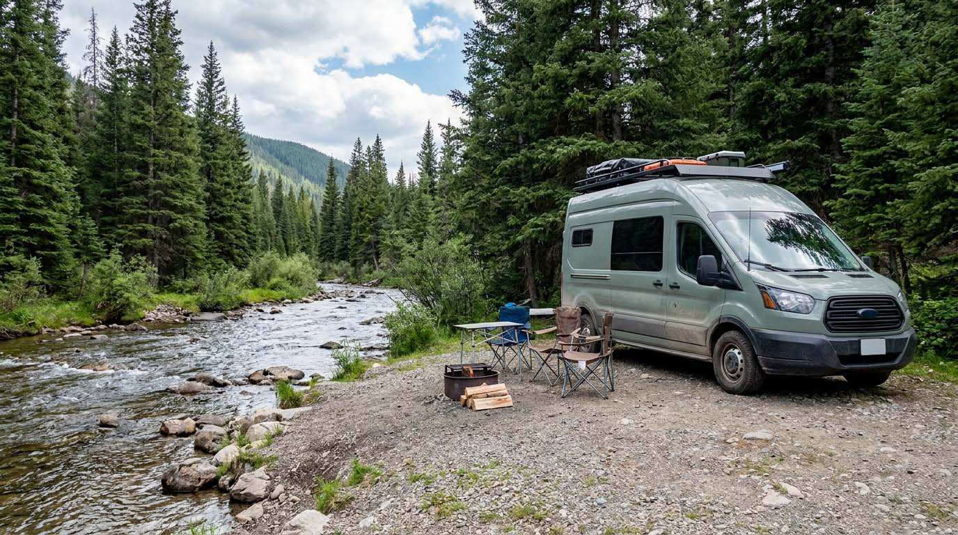
Electricity Consumption Calculator (Ah / Wh)
Calculate the electrical consumption of your devices in amp-hours and watt-hours.
Brake Distance Checker According to Weight
Calculate your vehicle's braking distance based on weight and speed.
Walking Time Calculator
Estimate hiking time based on distance, elevation gain, and your pace.
Unit converter (length, weight, volume)
Quickly convert length, weight, and volume between imperial and metric.