

Home › Canada › Québec › Chaudière-Appalaches › Saint-Just-De-Bretenières › 🏷️ Aires De Repos
Halte of Saint-Just-de-Bretenières
✍️ Suggested by 123Go.Quebec
Location Map
Description
Official rest area of the Ministry of Transport and Sustainable Mobility of Quebec, on Route 204, in Saint-Just-de-Bretenières. On Route 204 at the height of the Shidgel River bridge. Facilities: restrooms, picnic tables. Seasonal stop (closed in winter).
🕐 Latest comments
Photo Gallery
🔒 Become a Contributor to see all photos and enjoy the site ad-free.
Become a Contributor
📍 Nearby Places
- Édifice municipal, Saint-Just-de-Bretenières 🏷️ Gratuit — Saint-Just-De-Bretenières, Québec (1.6 km)
- Camping Municipal de Saint-Fabien-de-Panet 🏷️ Camping établi — Saint-Fabien-de-Panet, Québec (11.0 km)
- Saint-Magloire – Station Municipale 🏷️ Station de vidange sanitaire — Saint-Magloire, Québec (14.9 km)
- Bureau d'information touristique de Saint-Fabien-de-Panet 🏷️ Information Touristique — Saint-Fabien-de-Panet, Québec (15.2 km)
📖 Also Worth Reading
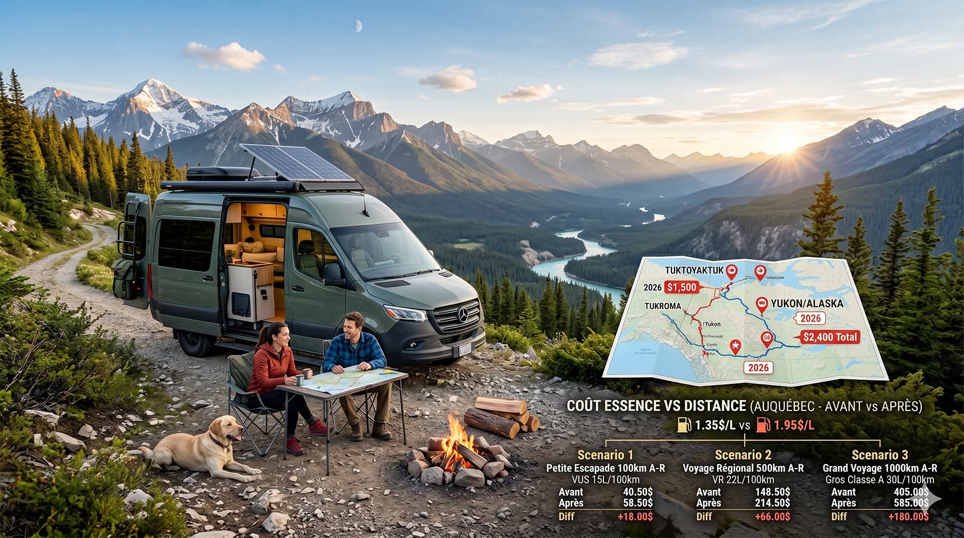
Price Increase: The Mathematical Strategy for Choosing Your Campsite Without Breaking the Bank
Cinq stratégies chiffrées pour choisir son camping intelligemment face à la hausse de l'essence : point de bascule essence/terrain, tactique du semi-servi, zones municipales gratuites et plus.
US to CAD Currency Converter: An Essential Tool
Discover how to use a US to CAD currency converter to facilitate your transactions and travels.
Tank capacity calculator for your RV
Learn how to assess the capacity of your water tanks for a successful RV trip.
Electricity Consumption Calculator (Ah / Wh)
Calculate the electrical consumption of your devices in amp-hours and watt-hours.