

Home › Canada › Québec › Gaspésie–Îles-de-la-Madeleine › Sainte-Madeleine-de-la-Rivière-Madeleine › 🏷️ Aires De Repos
Sainte-Madeleine Stopover
✍️ Suggested by 123Go.Quebec
Location Map
Description
Official rest area of the Ministry of Transport and Sustainable Mobility of Quebec, on Route Principale, in Sainte-Madeleine-de-la-Rivière-Madeleine. On Route Principale, at the intersection with rue du Phare, 110 m before km 974, heading east. Facilities: picnic tables, universal access. Accessible to heavy vehicles. Seasonal rest area (closed in winter).
🕐 Latest comments
Photo Gallery
🔒 Become a Contributor to see all photos and enjoy the site ad-free.
Become a Contributor
📍 Nearby Places
- Phare Cap Madeleine 🏷️ Camping établi — Sainte-Madeleine-de-la-Rivière-Madeleine, Québec (0.6 km)
- Camping Chalets Mer & Montaigne inc 🏷️ Camping établi — Madeleine-Centre, Québec (1.5 km)
- Lac La Ferme 🏷️ Gratuit — Grande-Vallée-des-Monts, Québec (13.7 km)
- Camping Soleil Couchant 🏷️ Camping établi — Grande-Vallée, Québec (16.3 km)
📖 Also Worth Reading

Unit converter (length, weight, volume)
Quickly convert length, weight, and volume between imperial and metric.
Brake Distance Checker According to Weight
Calculate your vehicle's braking distance based on weight and speed.
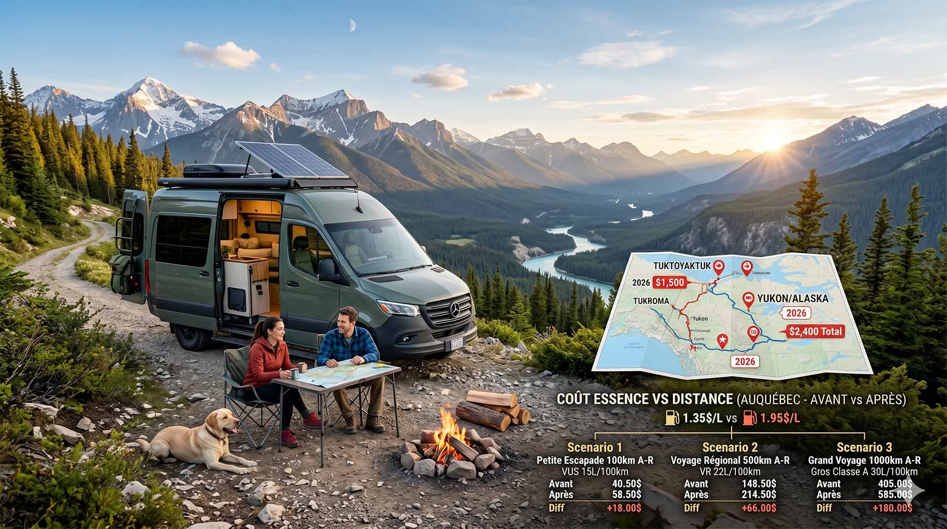
Price Increase: The Mathematical Strategy for Choosing Your Campsite Without Breaking the Bank
Cinq stratégies chiffrées pour choisir son camping intelligemment face à la hausse de l'essence : point de bascule essence/terrain, tactique du semi-servi, zones municipales gratuites et plus.
Celsius / Fahrenheit Temperature Converter
Convert a temperature between Celsius and Fahrenheit with one click.