

Home › Canada › Terre-Neuve-et-Labrador › English Harbour › 🏷️ Gratuit
Gravel Road Leading to the Lighthouse - After English Harbour -- Newfoundland and Labrador, Newfoundland and Labrador
✍️ Suggested by Contributeur 123Go
Location Map
Description
The gravel road leading to the lighthouse offers several spots with an ocean view, ideal for vans. Respect nature and the places by leaving nothing behind you.
🕐 Latest comments
Photo Gallery
🔒 Become a Contributor to see all photos and enjoy the site ad-free.
Become a Contributor
📍 Nearby Places
- Champney’s Arm 🏷️ Gratuit — Port Rexton, Terre-Neuve-et-Labrador (4.6 km)
- NL-230, Knights Cove (Gratuit) 🏷️ Gratuit — Trinity Bay North, Terre-Neuve-et-Labrador (4.6 km)
- NL-230, Knights Cove (Gratuit) 🏷️ Gratuit — Trinity Bay North, Terre-Neuve-et-Labrador (5.2 km)
- Point de Départ du Sentier Skerwink 🏷️ Gratuit — Port Rexton, Terre-Neuve-et-Labrador (6.4 km)
📖 Also Worth Reading
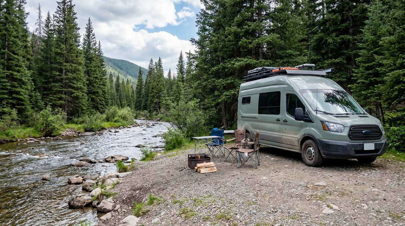
Electricity Consumption Calculator (Ah / Wh)
Calculate the electrical consumption of your devices in amp-hours and watt-hours.
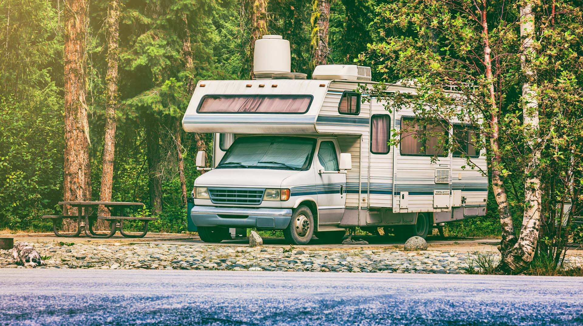
Loading weight calculator (payload)
Calculate the available payload for your RV without exceeding its maximum weight.

The state of Quebec's lakes: what the latest data says
Your swims and kayaking outings between two nights of camping deserve a healthy lake. Here’s what the latest data from the Government of Quebec reveals about the state of our lakes — and how to choose your next stop by the water.
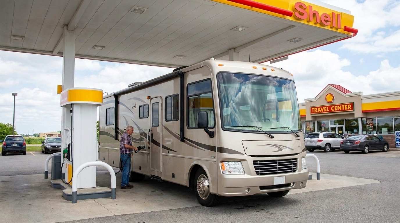
Fuel consumption calculator
Estimate your RV's fuel consumption based on distance and price per liter.