

Home › États-Unis › Arizona › Marble Canyon › 🏷️ Camping sauvage
Badger Creek BLM Camping
Location Map
Description
Badger Creek BLM camping - Difficult 4x4 access route, 3 miles from a paved road. Several camping sites with direct views of the Colorado River. Primitive sites overlooking the Badger Creek rapids.
🕐 Latest comments
Photo Gallery
🔒 Become a Contributor to see all photos and enjoy the site ad-free.
Become a Contributor
📍 Nearby Places
- Marble Canyon, Soap Creek 🏷️ Gratuit — Coconino, Arizona (4.9 km)
- La Ville de Page 🏷️ Gratuit — Page, Arizona (24.5 km)
- Camping sauvage de Lone Rock Beach 🏷️ Gratuit — Page, Utah (27.2 km)
- Le Parking de l'Arbre Solitaire 🏷️ Gratuit — One Mile, Arizona (35.5 km)
📖 Also Worth Reading

The state of Quebec's lakes: what the latest data says
Your swims and kayaking outings between two nights of camping deserve a healthy lake. Here’s what the latest data from the Government of Quebec reveals about the state of our lakes — and how to choose your next stop by the water.

Calculateur d'autonomie selon la vitesse et le réservoir et la consommation
Estimate how far you can travel based on tank size and fuel consumption.
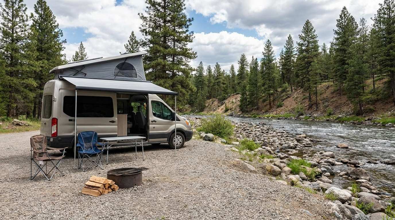
Discover free camping spots for recreational vehicles in Quebec, Canada, and the United States.
Discover the best free camping spots in Quebec, Canada, and the United States with our interactive map. Share and add your own boondocking locations!
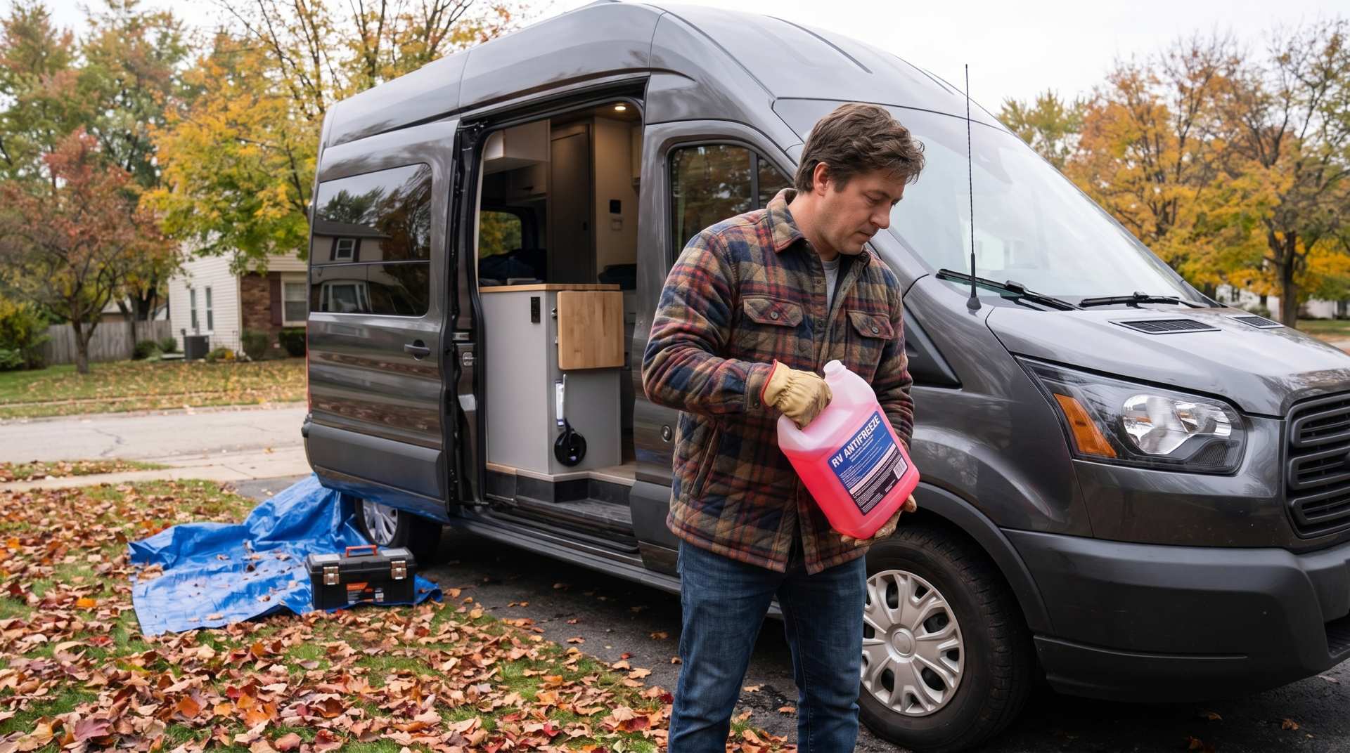
How to prepare your converted van for winter
There are no second chances when it comes to winter storage. A single night at −8 °C with a liter of water forgotten in a pipe elbow, and you’ll discover the damage in the spring — as soon as the pump turns on and sprays the inside of your RV.