

Home › États-Unis › California › Blythe › 🏷️ Camping sauvage
Dike road along the Colorado River -- Blythe, California
Location Map
Description
The levee road along the Colorado River offers several spots to park near the river. It's a quiet place and accessible from the highway. Respect the area and nature, and leave nothing behind.
🕐 Latest comments
Photo Gallery
🔒 Become a Contributor to see all photos and enjoy the site ad-free.
Become a Contributor
📍 Nearby Places
- The Cove RV Resort 🏷️ Station de vidange sanitaire — Blythe, California (0.9 km)
- Ehrenberg Sandbowl (BLM) – Ehrenberg 🏷️ Gratuit — Ehrenberg, Arizona (1.7 km)
- Station de vidange sanitaire - Blythe 🏷️ Station de vidange sanitaire — Blythe, California (5.3 km)
- Ehrenberg Rest Area E/B 🏷️ Aires De Repos — La Paz, Arizona (8.4 km)
📖 Also Worth Reading
Fuel consumption calculator
Estimate your RV's fuel consumption based on distance and price per liter.
Walking Time Calculator
Estimate hiking time based on distance, elevation gain, and your pace.
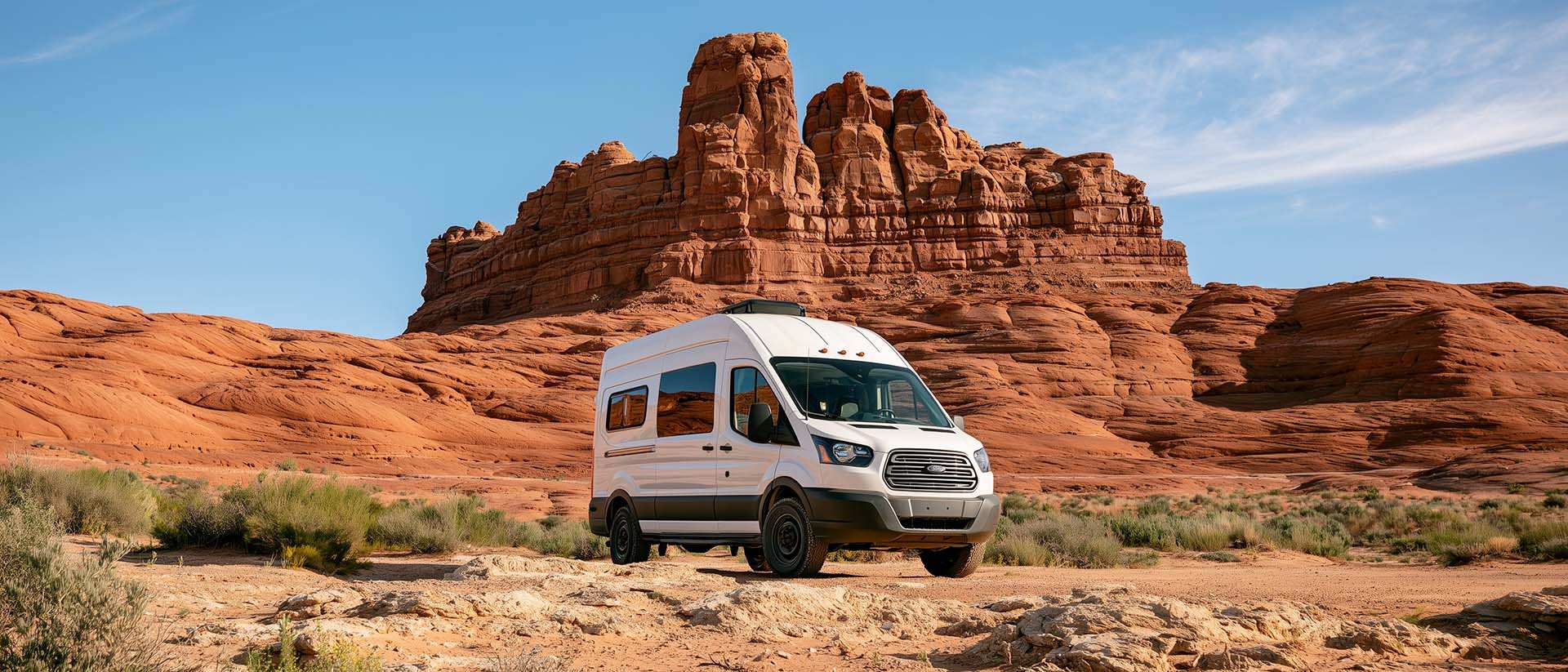
BLM Land in the U.S.: Free Camping, Length of Stay, and LTVAs
What is BLM land, how long can you camp there for free, and how do LTVAs work to stay longer? The full guide before heading out to winter in the American Southwest.
Brake Distance Checker According to Weight
Calculate your vehicle's braking distance based on weight and speed.