

Home › États-Unis › Colorado › Gunnison County › 🏷️ Gratuit
Mix of cow dung
✍️ Suggested by Contributeur 123Go
Location Map
Description
Cleared area with a large fire pit, several spots available. Watch out for cow dung. (Altitude: 2446 m)
🕐 Latest comments
🔒 Contributors can edit place listings (fix a detail, add a photo...). Subscribe to unlock "I've stopped here."
Photo Gallery
🔒 Become a Contributor to see all photos and enjoy the site ad-free.
Become a Contributor
📍 Nearby Places
- Iron Creek – camping 🏷️ Camping établi — Crawford, Colorado (24.5 km)
- Clear Fork – camping 🏷️ Camping établi — Crawford, Colorado (24.5 km)
- Près de BLM North Rim 🏷️ Gratuit — Maher, Colorado (27.2 km)
- Route Black Rock Canyon 🏷️ Gratuit — Maher, Colorado (27.4 km)
📖 Also Worth Reading
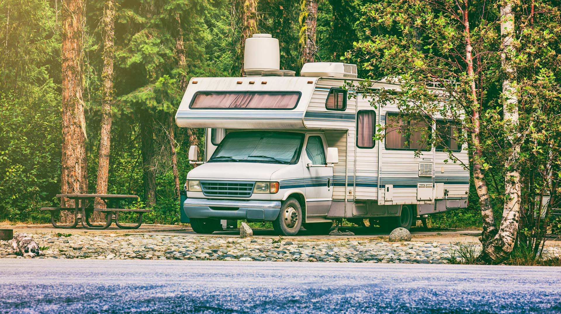
Blog Article
Loading weight calculator (payload)
Calculate the available payload for your RV without exceeding its maximum weight.
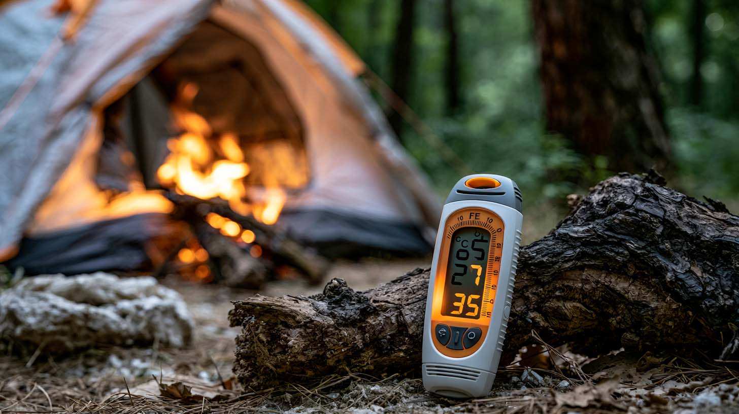
Blog Article
Celsius / Fahrenheit Temperature Converter
Convert a temperature between Celsius and Fahrenheit with one click.
Blog Article
Gas Price Converter Canada USA
Compare gas prices between Canada and the U.S., liters and gallons included.

Blog Article
Walking Time Calculator
Estimate hiking time based on distance, elevation gain, and your pace.
⚠️ This listing is provided for informational purposes only. Before staying overnight, make sure you have the right to be there, always leave no trace (pick up your trash), respect wildlife, and follow local laws and regulations. If you believe this listing contains an error or would like to request its removal.
Is this place closed?
🚫 Report as closed
An error on this listing?
📝 Report a problem