

Home › États-Unis › Colorado › Montrose › 🏷️ Parc d'État
Black Canyon of the Gunnison National Park
✍️ Suggested by 123Go.Quebec
Location Map
Description
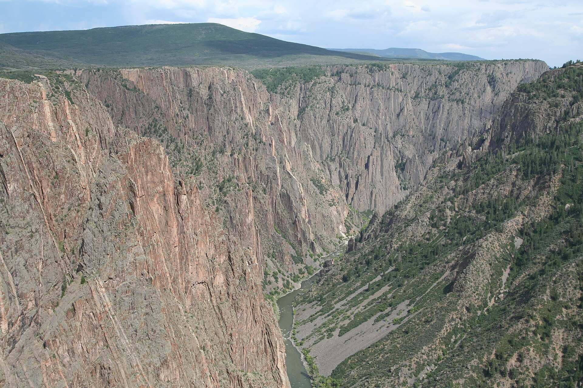
This park protects a breathtaking gorge carved by the Gunnison River in 1.7 billion-year-old Precambrian gneiss, so narrow that some walls receive only 33 minutes of sunlight per day. The south side, open year-round, offers spectacular viewpoints. A developed campground with electrical hookups is located near the visitor center.
🕐 Latest comments
Photo Gallery
🔒 Become a Contributor to see all photos and enjoy the site ad-free.
Become a Contributor
📍 Nearby Places
- BLM - Bord nord du canyon noir 🏷️ Gratuit — Maher, Colorado (9.2 km)
- BLM près du Black Canyon 🏷️ Gratuit — Maher, Colorado (9.3 km)
- Route Black Rock Canyon 🏷️ Gratuit — Maher, Colorado (9.5 km)
- Près de BLM North Rim 🏷️ Gratuit — Maher, Colorado (9.9 km)
📖 Also Worth Reading
Tank capacity calculator for your RV
Learn how to assess the capacity of your water tanks for a successful RV trip.
Brake Distance Checker According to Weight
Calculate your vehicle's braking distance based on weight and speed.
Fuel consumption calculator
Estimate your RV's fuel consumption based on distance and price per liter.

Calculateur d'autonomie selon la vitesse et le réservoir et la consommation
Estimate how far you can travel based on tank size and fuel consumption.