

Home › États-Unis › Oregon › Union › 🏷️ Aires De Repos
Red Bridge State Park Wayside
✍️ Suggested by 123Go.Quebec
Location Map
This listing hasn't been translated to English yet. You can translate it now — it only takes a few seconds.
Description
Halte routière — Eastbound and Westbound Access, 16 miles southwest of La Grande (milepost 39.5), Restrooms, Picnic Tables, Drinking Water (Oregon). Emplacement tiré des cartes officielles du ministère des Transports de l'État. Les règles de stationnement de nuit varient selon l'État : vérifiez l'affichage sur place.
🕐 Latest comments
Photo Gallery
🔒 Become a Contributor to see all photos and enjoy the site ad-free.
Become a Contributor
📍 Nearby Places
- Forêt nationale près de La Grande 🏷️ Gratuit — Hilgard, Oregon (6.5 km)
- Spring Creek Dispersed Area 🏷️ Gratuit — Union, Oregon (9.1 km)
- Hilgard State Park Wayside 🏷️ Aires De Repos — Union, Oregon (9.4 km)
- Charles Reynolds Rest Area E/B 🏷️ Aires De Repos — Union, Oregon (25.5 km)
📖 Also Worth Reading
Electricity Consumption Calculator (Ah / Wh)
Calculate the electrical consumption of your devices in amp-hours and watt-hours.
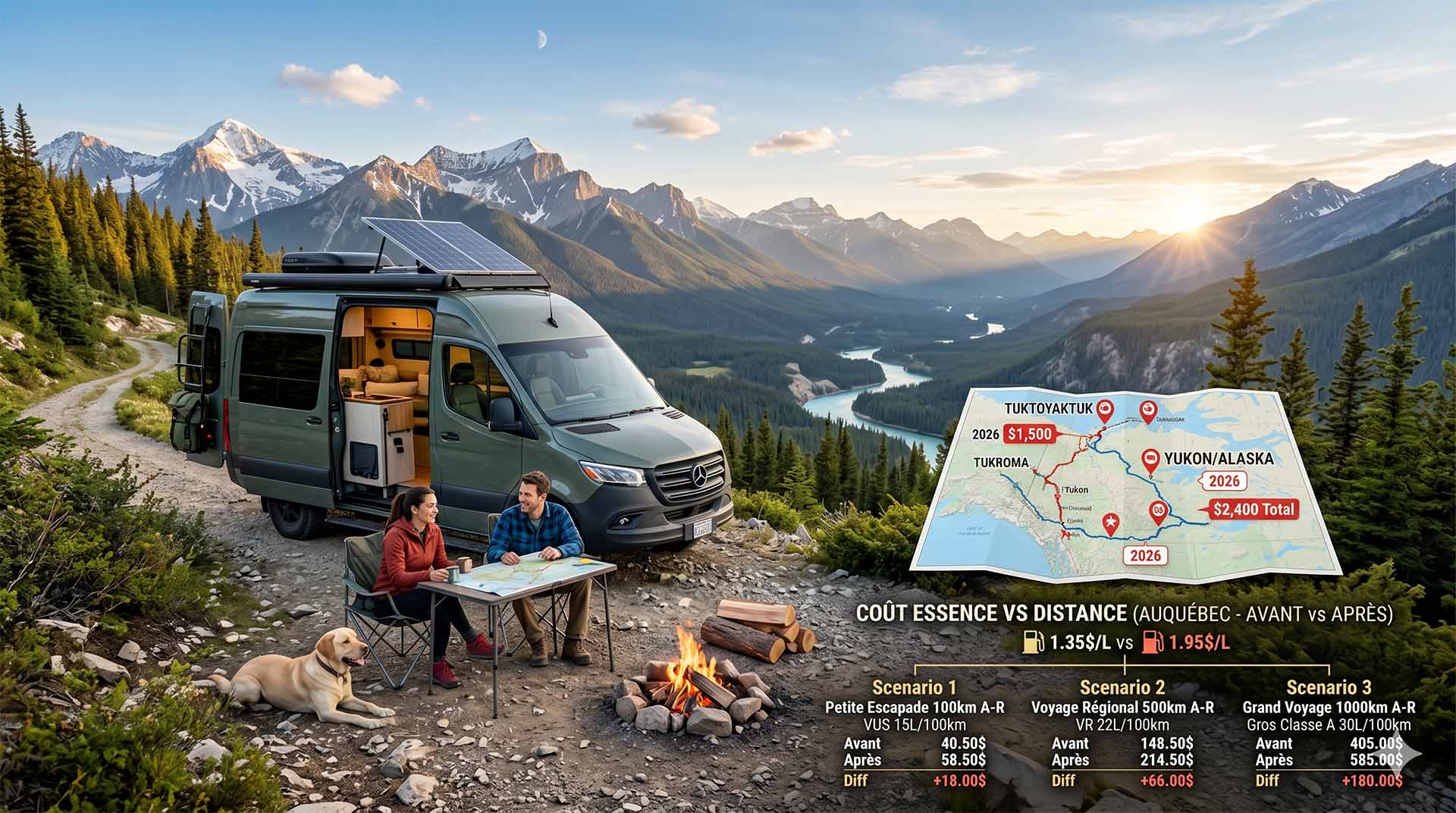
Price Increase: The Mathematical Strategy for Choosing Your Campsite Without Breaking the Bank
Cinq stratégies chiffrées pour choisir son camping intelligemment face à la hausse de l'essence : point de bascule essence/terrain, tactique du semi-servi, zones municipales gratuites et plus.
Convert a distance between kilometers and miles
Convert a distance between kilometers and miles with one click.
Gas cost calculator for a trip
Estimate the total fuel cost for your next trip based on distance and price.