

Home › Canada › Colombie-Britannique › Eastgate › 🏷️ Gratuit
Le chemin High Creek
✍️ Suggested by Contributeur 123Go
Location Map
Description
Route forestière avec plusieurs arrêts, plus calme au deuxième arrêt grâce au ruisseau. Accessible en 2WD.
🕐 Latest comments
Photo Gallery
🔒 Become a Contributor to see all photos and enjoy the site ad-free.
Become a Contributor
📍 Nearby Places
- Le coin au bord de la rivière 🏷️ Gratuit — Area H (Manning Park/Tulameen/Siwash), Colombie-Britannique (1.9 km)
- Chemin en dehors de l'autoroute 3 🏷️ Gratuit — Eastgate, Colombie-Britannique (4.6 km)
- Le point d'arrêt idéal pour dormir 🏷️ Gratuit — Area H (Manning Park/Tulameen/Siwash), Colombie-Britannique (14.7 km)
- Station de vidange sanitaire – Area H (Manning Park/Tulameen/Siwash) 🏷️ Station de vidange sanitaire — Manning Park, Colombie-Britannique (20.5 km)
📖 Also Worth Reading

Calculateur d'autonomie selon la vitesse et le réservoir et la consommation
Estimate how far you can travel based on tank size and fuel consumption.
Brake Distance Checker According to Weight
Calculate your vehicle's braking distance based on weight and speed.
Discover free camping spots for recreational vehicles in Quebec, Canada, and the United States.
Discover the best free camping spots in Quebec, Canada, and the United States with our interactive map. Share and add your own boondocking locations!
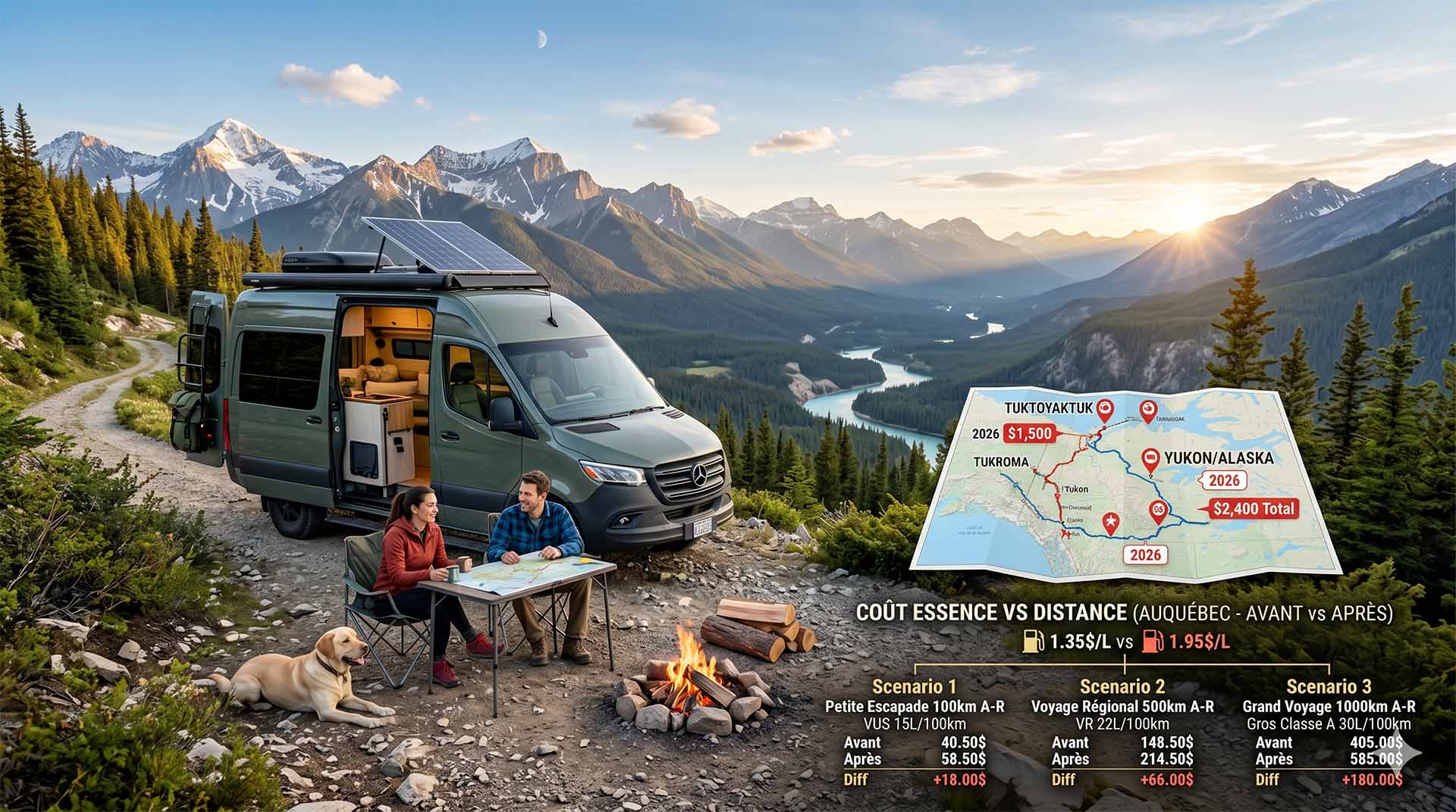
Price Increase: The Mathematical Strategy for Choosing Your Campsite Without Breaking the Bank
Cinq stratégies chiffrées pour choisir son camping intelligemment face à la hausse de l'essence : point de bascule essence/terrain, tactique du semi-servi, zones municipales gratuites et plus.