

Home › Canada › Colombie-Britannique › Area F (Willow River/Upper Fraser) › 🏷️ Gratuit
Le point de vue sur la rivière depuis le chemin forestier
✍️ Suggested by Contributeur 123Go
Location Map
Description
Bel emplacement avec vue sur l'eau et les montagnes. Route difficile, mais accessible sans 4x4 jusqu'à un certain point.
🕐 Latest comments
Photo Gallery
🔒 Become a Contributor to see all photos and enjoy the site ad-free.
Become a Contributor
📍 Nearby Places
- À l'extérieur du parc provincial Kakwa 🏷️ Gratuit — Area F (Willow River/Upper Fraser), Colombie-Britannique (0.7 km)
- Halte routière autoroute 16 🏷️ Aires De Repos — Area F (Willow River/Upper Fraser), Colombie-Britannique (32.7 km)
- Le point d'arrêt du chemin forestier Hungry Creek 🏷️ Gratuit — Longworth, Colombie-Britannique (46.4 km)
- Lac Purden camping provincial 🏷️ Camping établi — Area F (Willow River/Upper Fraser), Colombie-Britannique (73.9 km)
📖 Also Worth Reading

BLM Land in the U.S.: Free Camping, Length of Stay, and LTVAs
What is BLM land, how long can you camp there for free, and how do LTVAs work to stay longer? The full guide before heading out to winter in the American Southwest.
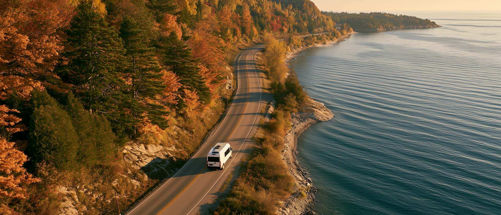
What to Do in Québec in October
October 2026 in Québec by RV: fall colours at their peak, Thanksgiving, off-season rates, and the last festivals before campgrounds close for the season.

The state of Quebec's lakes: what the latest data says
Your swims and kayaking outings between two nights of camping deserve a healthy lake. Here’s what the latest data from the Government of Quebec reveals about the state of our lakes — and how to choose your next stop by the water.

Walking Time Calculator
Estimate hiking time based on distance, elevation gain, and your pace.