

Home › Canada › Québec › Mauricie › Saint-Alexis-des-Monts › 🏷️ Gratuit
Lac Larose
✍️ Suggested by Contributeur 123Go
Location Map
Description
Lac Larose, terrain public accessible par un sentier. Attention, beaucoup de VTT et motos. Peut y avoir des fêtards, mais c'est relativement calme. Route entretenue par la ville de St-Mathieu. Ne pas se fier à Google Maps, suivez la route 724 vers le Lac à la Coureuse, puis les indications vers le Lac Larose. Saint-Alexis-des-Monts, Maskinongé (MRC), Mauricie, Quebec, J0K 1V0, Canada
🕐 Latest comments
Photo Gallery
🔒 Become a Contributor to see all photos and enjoy the site ad-free.
Become a Contributor
📍 Nearby Places
- Camping de groupe de la Clairière 🏷️ Camping établi — Shawinigan, Québec (6.6 km)
- Parc récréoforestier Saint-Mathieu — camping sauvage (secteur Lac-en-Croix) 🏷️ Gratuit — Shawinigan, Québec (6.8 km)
- Camping Mistagance 🏷️ Camping établi — Shawinigan, Québec (8.1 km)
- Camping Lac Bellemare 🏷️ Camping établi — Saint-Mathieu-du-Parc, Québec (10.0 km)
📖 Also Worth Reading
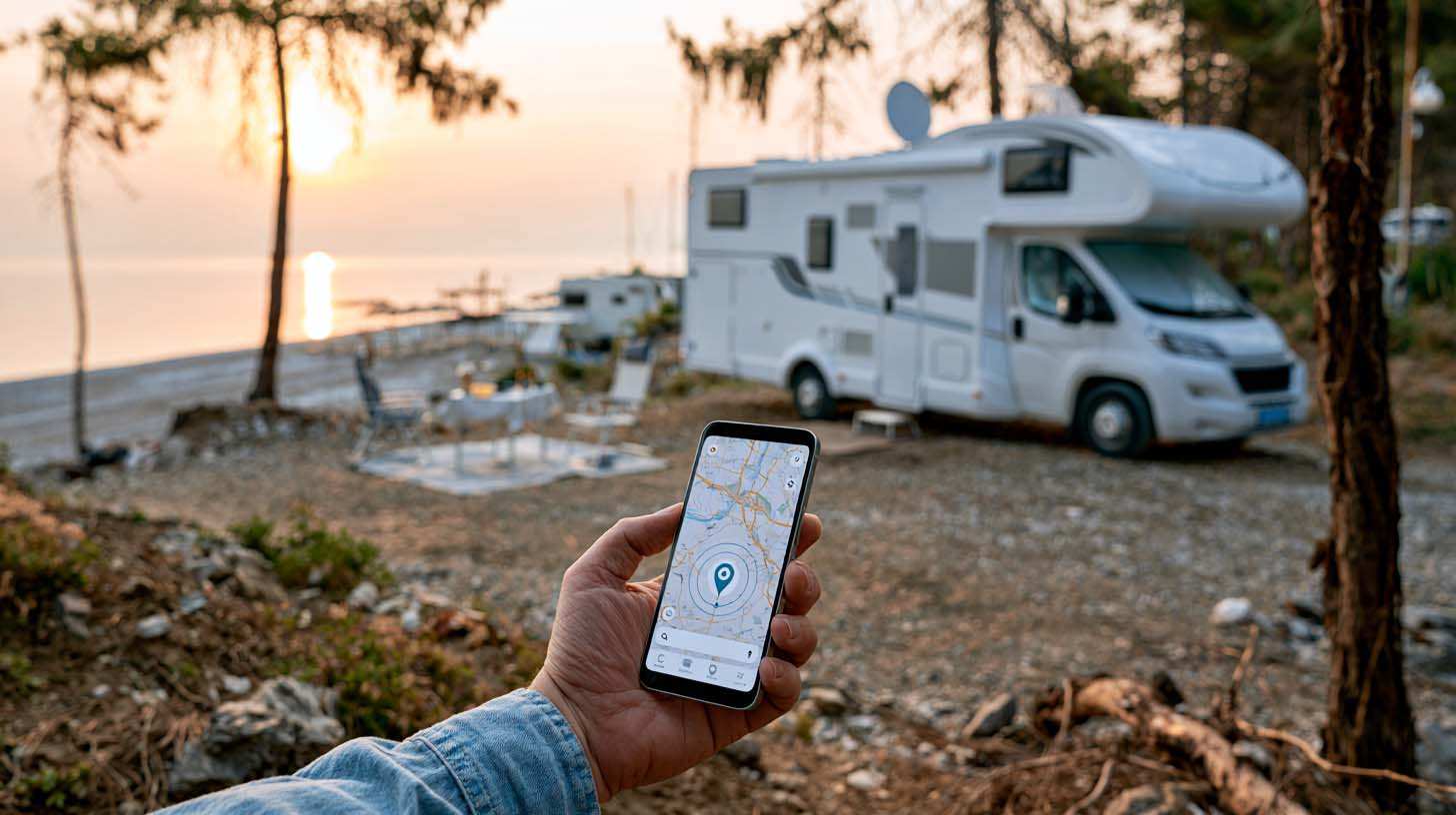
Gas cost calculator for a trip
Estimate the total fuel cost for your next trip based on distance and price.
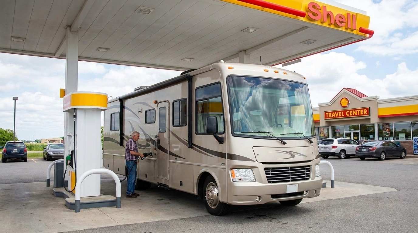
Fuel consumption calculator
Estimate your RV's fuel consumption based on distance and price per liter.
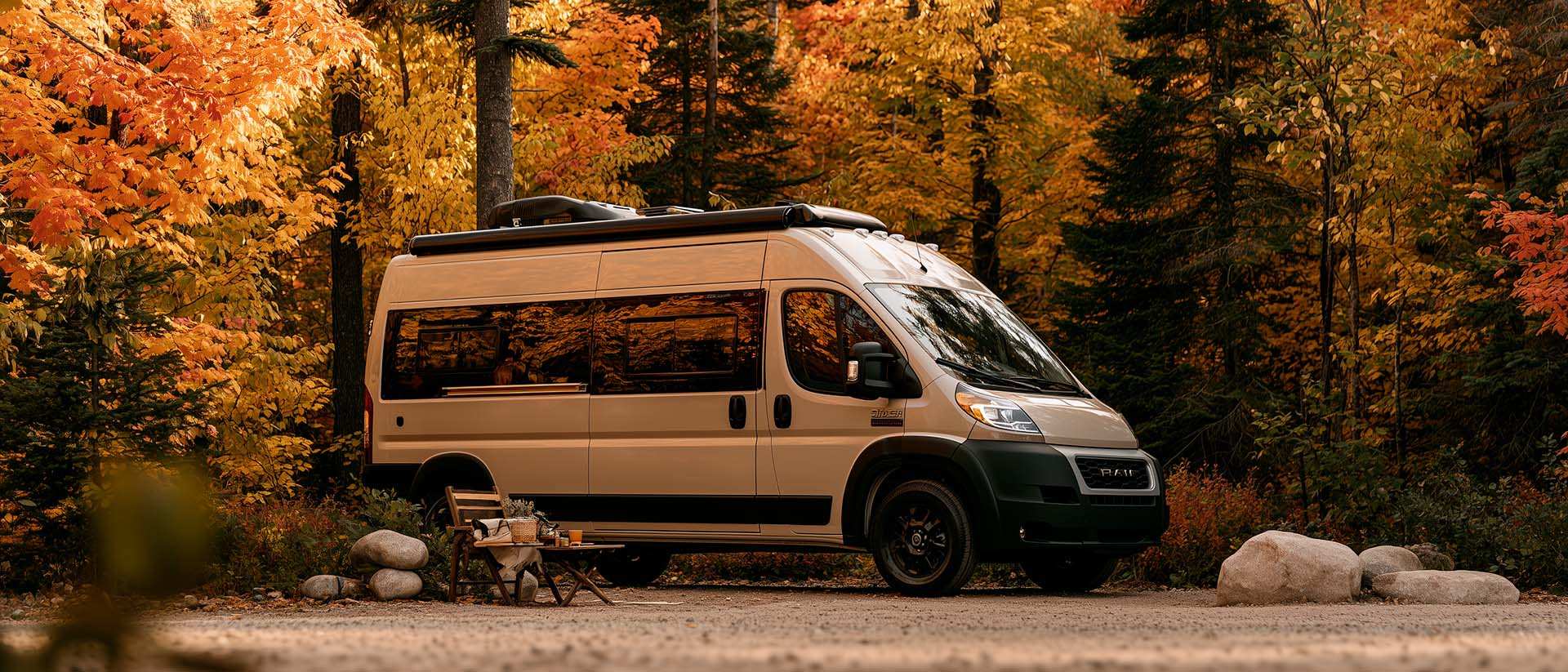
What Is Boondocking?
You've seen the word everywhere — on social media, in RV Facebook groups, on our own map — but you're not quite sure what it actually means?
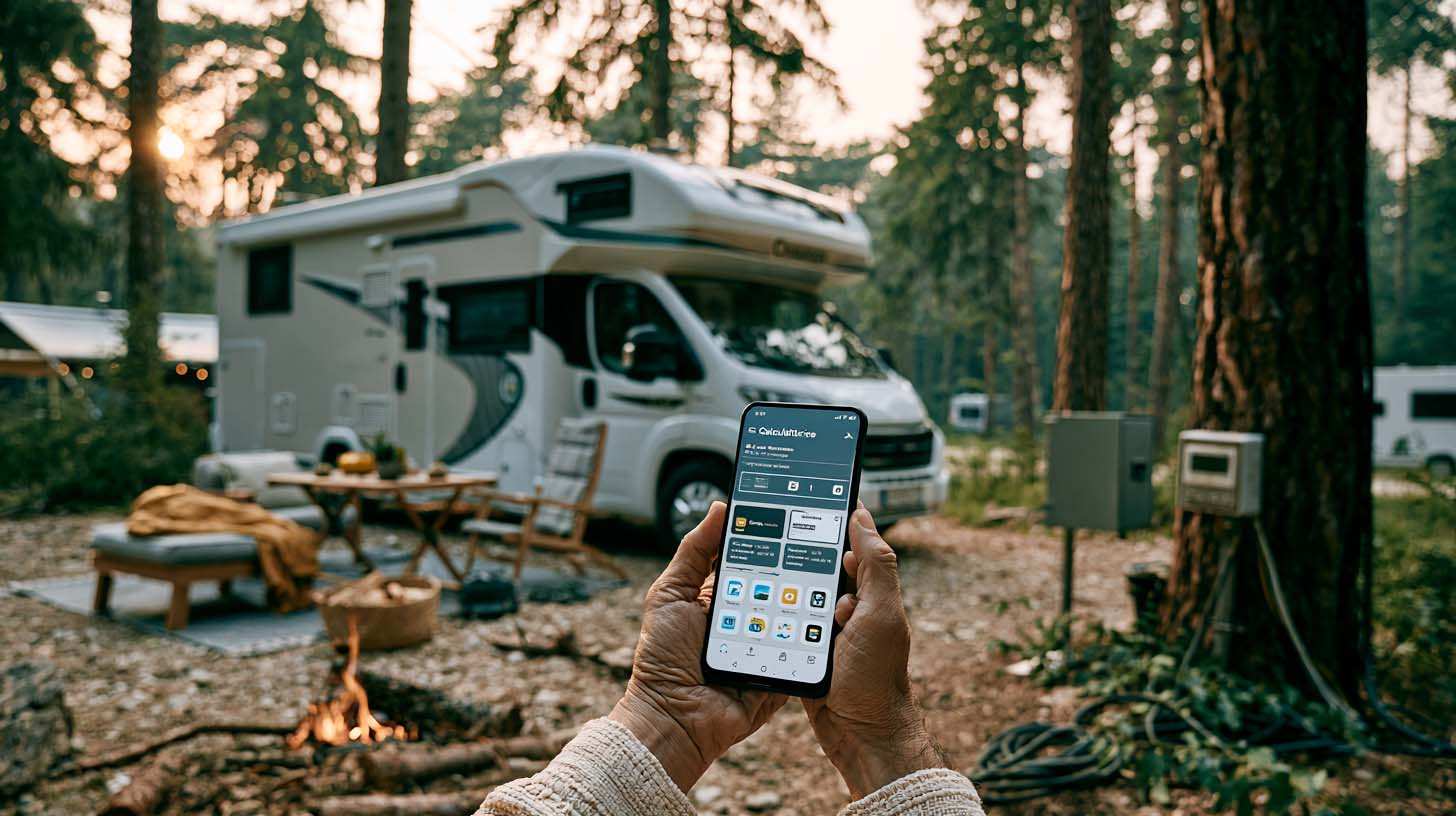
Brake Distance Checker According to Weight
Calculate your vehicle's braking distance based on weight and speed.