

Home › Canada › Québec › Mauricie › Shawinigan › 🏷️ Parc d'État
Parc national de la Mauricie
Overnight parking is banned November 15 to April 30 (midnight-7am), except daily lifts. RVs are capped at 12h/day on the street in front of their own address; sleeping in them is banned.
✍️ Suggested by 123Go.Quebec
Location Map
Description
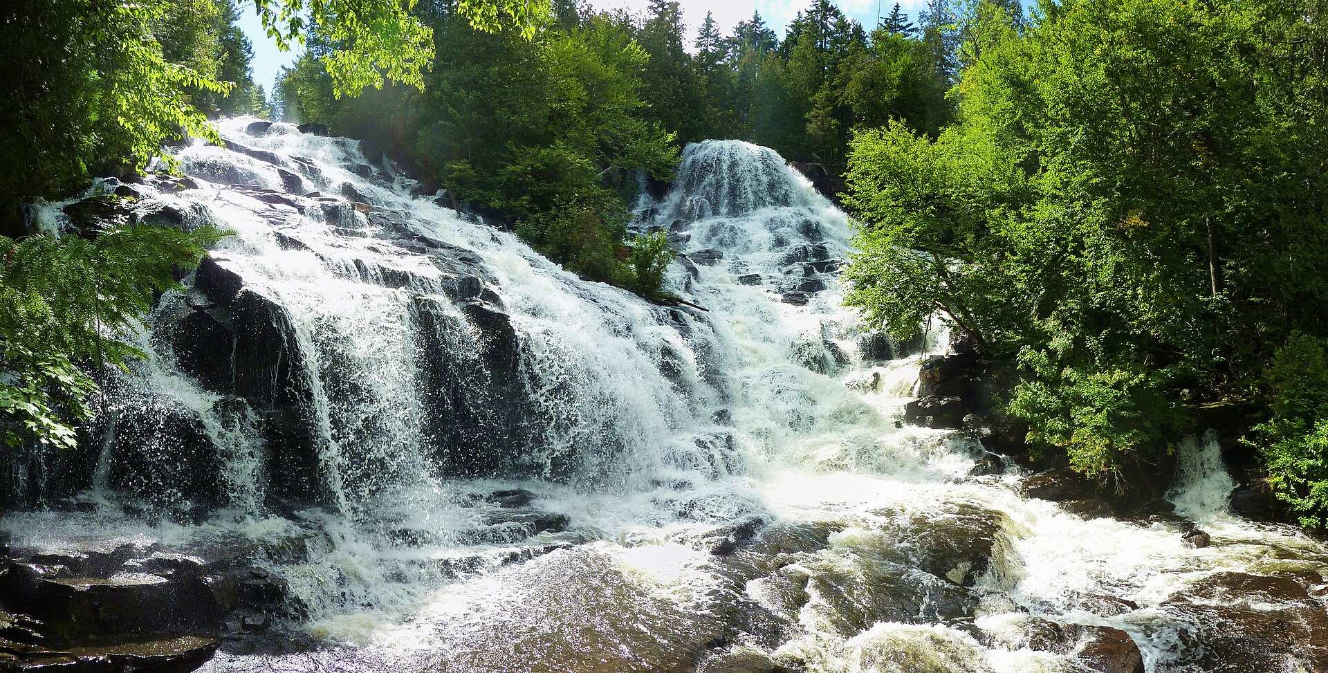
Un vaste territoire de lacs, rivières et forêts du Bouclier canadien, idéal pour le canot-camping et l'observation de l'orignal. Une route panoramique, la Promenade, traverse le parc entre ses deux entrées, Saint-Jean-des-Piles et Saint-Mathieu-du-Parc. Accessible en voiture à moins d'une heure de Trois-Rivières.
🕐 Latest comments
Photo Gallery
🔒 Become a Contributor to see all photos and enjoy the site ad-free.
Become a Contributor
📍 Nearby Places
- Nature Nature 🏷️ Camping établi — Shawinigan, Québec (0.9 km)
- Halte routière à grandes-piles 🏷️ Aires De Repos — Grandes-Piles, Québec (1.1 km)
- Camping de la Rivière-à-la-Pêche 🏷️ Camping établi — Shawinigan, Québec (3.8 km)
- Camping Municipal et Marina St-Roch-de-Mékinac 🏷️ Camping établi — Saint-Roch-De-Mékinac, Québec (6.0 km)
📖 Also Worth Reading

The state of Quebec's lakes: what the latest data says
Your swims and kayaking outings between two nights of camping deserve a healthy lake. Here’s what the latest data from the Government of Quebec reveals about the state of our lakes — and how to choose your next stop by the water.
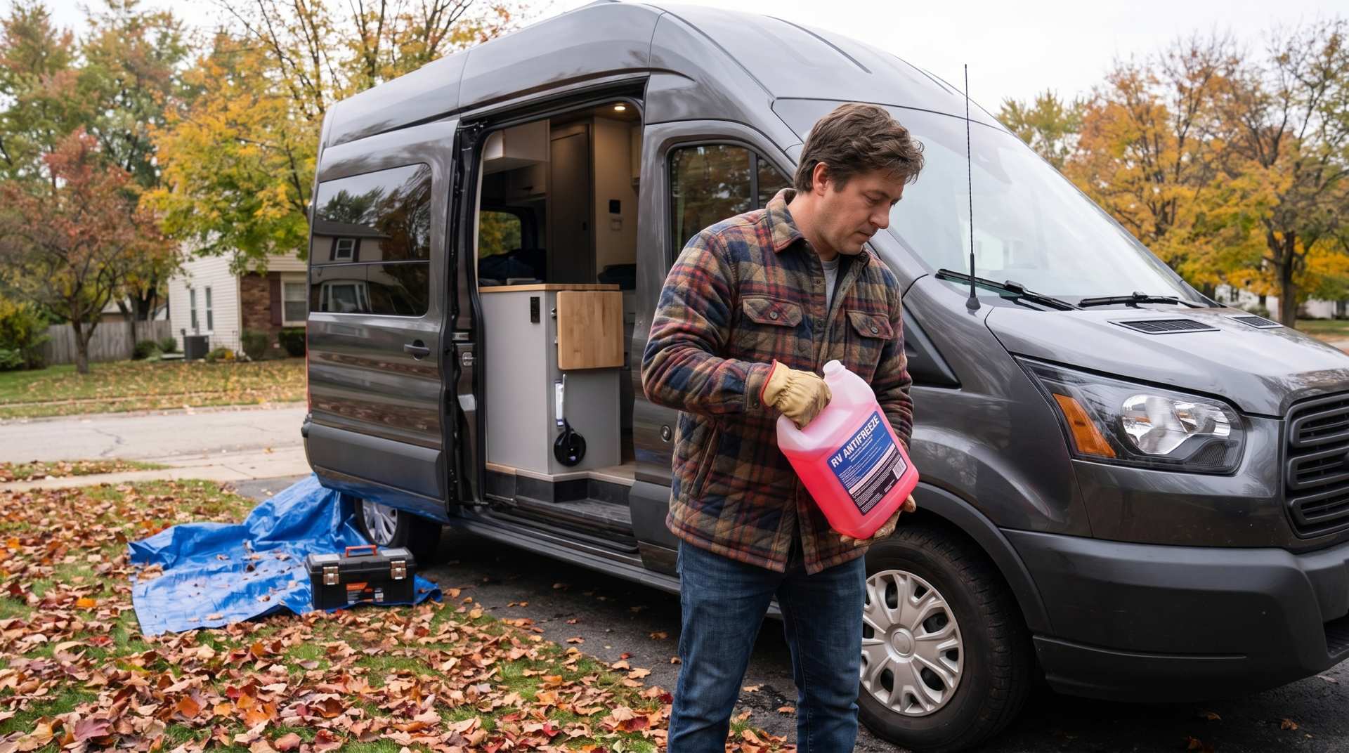
How to prepare your converted van for winter
There are no second chances when it comes to winter storage. A single night at −8 °C with a liter of water forgotten in a pipe elbow, and you’ll discover the damage in the spring — as soon as the pump turns on and sprays the inside of your RV.
US to CAD Currency Converter: An Essential Tool
Discover how to use a US to CAD currency converter to facilitate your transactions and travels.
Convert a distance between kilometers and miles
Convert a distance between kilometers and miles with one click.