

Home › Canada › Yukon › Dempster Highway › 🏷️ Camping établi
Le Camping gouvernemental Rock River
✍️ Suggested by Contributeur 123Go
Location Map
Description
Camping basique du gouvernement du Yukon, 17 emplacements protégés du vent, bois gratuit. 20 CAD par nuit. Rock River, Dempster Highway, Yukon, Canada
🕐 Latest comments
Photo Gallery
🔒 Become a Contributor to see all photos and enjoy the site ad-free.
Become a Contributor
📍 Nearby Places
- Sommet de la colline 🏷️ Gratuit — Gwich'in Settlement Area, Northwest Territories (20.8 km)
- Fosse à ours de gravier 🏷️ Gratuit — Canada, Yukon (32.1 km)
- Sablière à l'ouest du Dempster 🏷️ Gratuit — Gwich'in Settlement Area, Northwest Territories (32.4 km)
- Terrain de camping Eagle Plains 🏷️ Camping établi — Eagle Plains, Yukon (62.2 km)
📖 Also Worth Reading
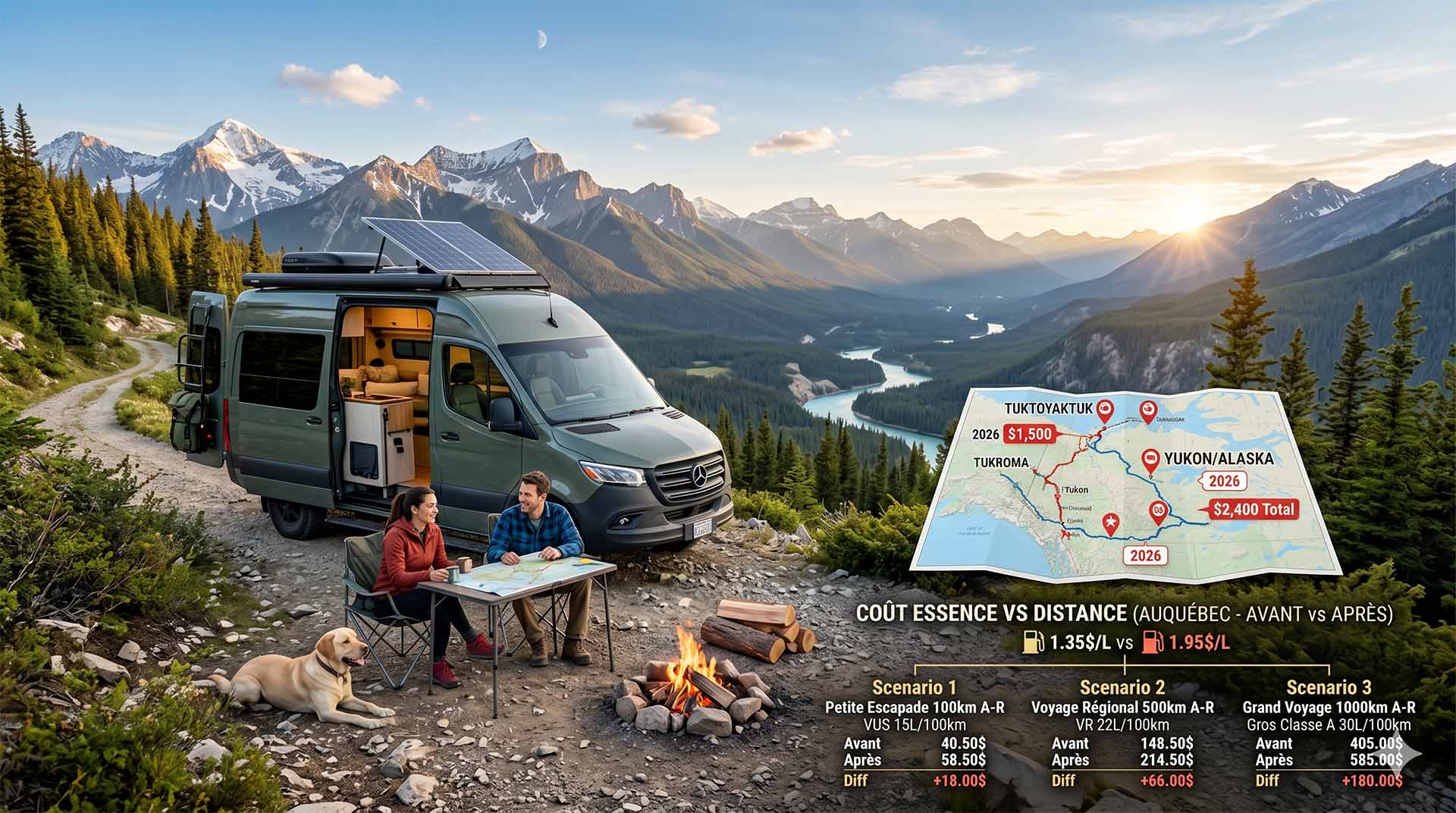
Price Increase: The Mathematical Strategy for Choosing Your Campsite Without Breaking the Bank
Cinq stratégies chiffrées pour choisir son camping intelligemment face à la hausse de l'essence : point de bascule essence/terrain, tactique du semi-servi, zones municipales gratuites et plus.
Convert a distance between kilometers and miles
Convert a distance between kilometers and miles with one click.

The state of Quebec's lakes: what the latest data says
Your swims and kayaking outings between two nights of camping deserve a healthy lake. Here’s what the latest data from the Government of Quebec reveals about the state of our lakes — and how to choose your next stop by the water.
Celsius / Fahrenheit Temperature Converter
Convert a temperature between Celsius and Fahrenheit with one click.