

Home › Canada › Yukon › Rancheria › 🏷️ Gratuit
Ruisseau Porcupine
✍️ Suggested by Contributeur 123Go
Location Map
Description
Départ au nord du pont Porcupine Creek. Grande zone ouverte, sans services. Bonne pour une nuit. Alaska Highway, Rancheria, Yukon, Canada
🕐 Latest comments
Photo Gallery
🔒 Become a Contributor to see all photos and enjoy the site ad-free.
Become a Contributor
📍 Nearby Places
- Chutes de Rancheria 🏷️ Gratuit — Rancheria, Yukon (1.6 km)
- Route de la tour radio de Rancheria 🏷️ Gratuit — Teslin, Yukon (10.0 km)
- Rancheria rivière 🏷️ Camping sauvage — Watson Lake, Yukon (18.9 km)
- Le Camp de pêche 🏷️ Gratuit — Rancheria, Yukon (24.3 km)
📖 Also Worth Reading
Brake Distance Checker According to Weight
Calculate your vehicle's braking distance based on weight and speed.

Walking Time Calculator
Estimate hiking time based on distance, elevation gain, and your pace.
Discover free camping spots for recreational vehicles in Quebec, Canada, and the United States.
Discover the best free camping spots in Quebec, Canada, and the United States with our interactive map. Share and add your own boondocking locations!
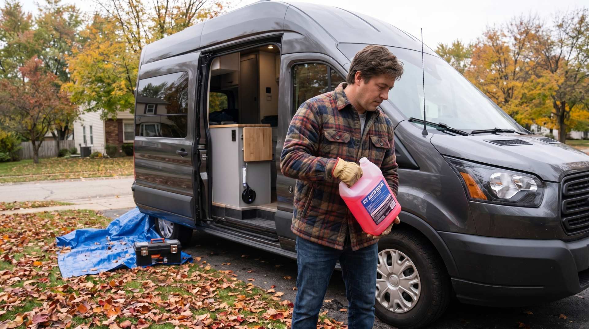
How to prepare your converted van for winter
There are no second chances when it comes to winter storage. A single night at −8 °C with a liter of water forgotten in a pipe elbow, and you’ll discover the damage in the spring — as soon as the pump turns on and sprays the inside of your RV.