

Home › États-Unis › Arizona › Tonto Basin › 🏷️ Gratuit
La Route El Oso avec Vue sur le Lac
✍️ Suggested by A-i
Location Map
Description
About 2.5 miles from the El Oso & A Cross Rd junction. Route up hill, semi-rough terrain & probably only for 4wd/awd. Beautiful view of the lake and mountains. Pretty quiet on a Sunday, we didn’t see any cars pass by.
Had 1-2 bars of Verizon. Détails: El Oso Road, Gila County, Arizona, 85553, United States
🕐 Latest comments
Photo Gallery
🔒 Become a Contributor to see all photos and enjoy the site ad-free.
Become a Contributor
📍 Nearby Places
- La Route 661 Indian Point 🏷️ Gratuit — Tonto Basin, Arizona (3.8 km)
- Vue sur le Lac Roosevelt près du Départ du Sentier Rock Creek 🏷️ Gratuit — Tonto Basin, Arizona (4.0 km)
- La FR 83 🏷️ Gratuit — Roosevelt, Arizona (23.1 km)
- Les Vues sur la Montagne 🏷️ Gratuit — Rio Verde, Arizona (25.4 km)
📖 Also Worth Reading
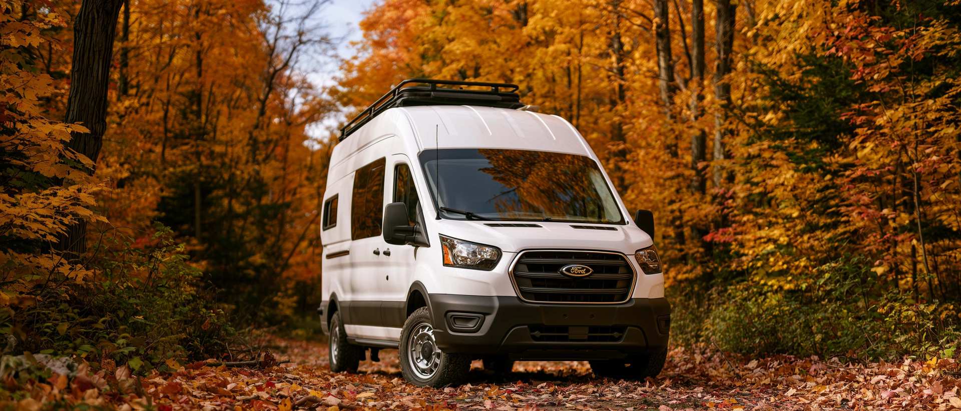
Boondocking: Enjoy the Freedom, Respect the Rules
The basics of ethical, responsible camping -- how to travel while leaving no trace.
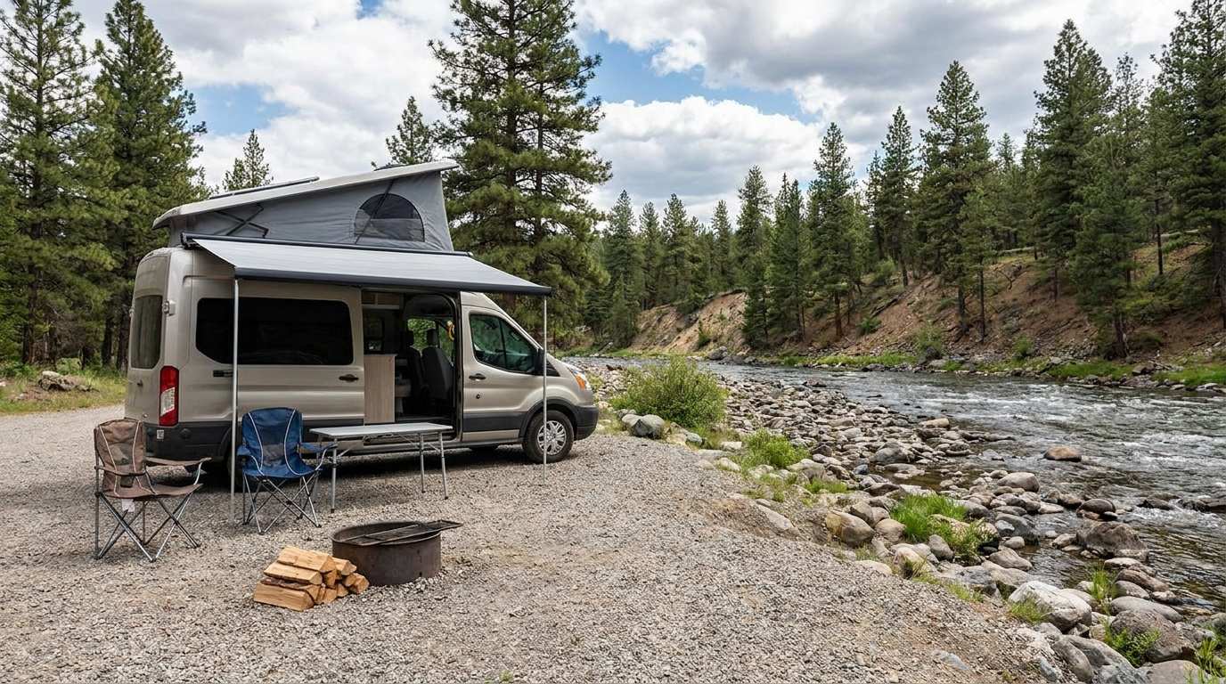
Discover free camping spots for recreational vehicles in Quebec, Canada, and the United States.
Discover the best free camping spots in Quebec, Canada, and the United States with our interactive map. Share and add your own boondocking locations!
Recreational Vehicle Battery Life Calculator
Estimate the autonomy of your RV battery bank based on your consumption.

Walking Time Calculator
Estimate hiking time based on distance, elevation gain, and your pace.