

Home › États-Unis › Colorado › Ames › 🏷️ Gratuit
Départ du sentier East Fork
✍️ Suggested by A-i
Location Map
Description
Beaucoup d'emplacements disponibles pour les campeurs juste à côté de l'autoroute. (Altitude: 3098 m)
🕐 Latest comments
Photo Gallery
🔒 Become a Contributor to see all photos and enjoy the site ad-free.
Become a Contributor
📍 Nearby Places
- Camping dispersé au col Lizard Head, Telluride, Colorado 🏷️ Gratuit — Ophir, Colorado (3.6 km)
- Le lac Barlow, Bolam Pass Road (CR 58), San Juan NF 🏷️ Gratuit — Rico, Colorado (5.6 km)
- Le col Bolam 578 🏷️ Gratuit — Rico, Colorado (14.1 km)
- Site minier de la rivière Dolores 🏷️ Gratuit — Rico, Colorado (18.8 km)
📖 Also Worth Reading
Gas cost calculator for a trip
Estimate the total fuel cost for your next trip based on distance and price.
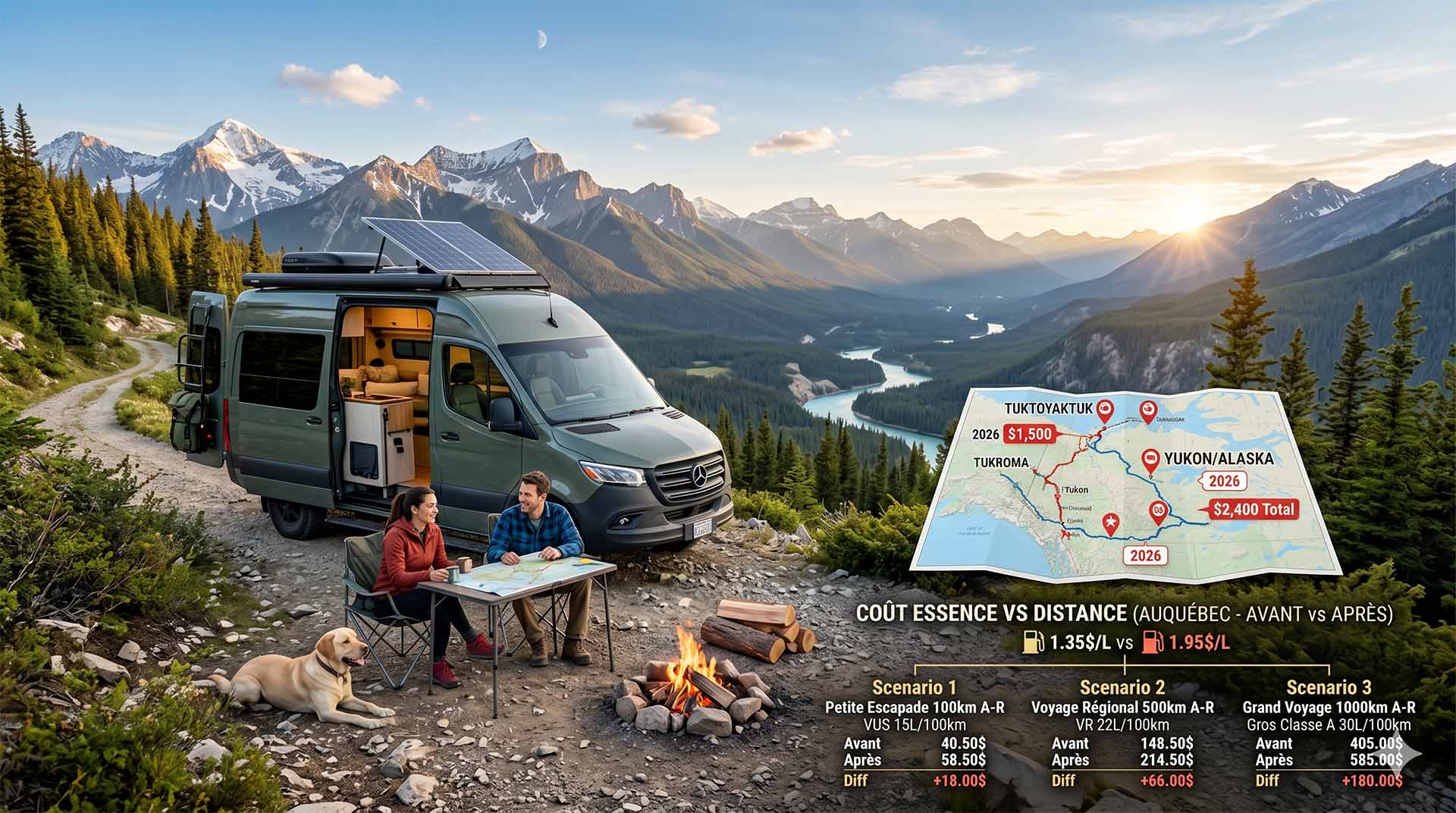
Price Increase: The Mathematical Strategy for Choosing Your Campsite Without Breaking the Bank
Cinq stratégies chiffrées pour choisir son camping intelligemment face à la hausse de l'essence : point de bascule essence/terrain, tactique du semi-servi, zones municipales gratuites et plus.
Fuel consumption calculator
Estimate your RV's fuel consumption based on distance and price per liter.
What to Do in Québec in October
October 2026 in Québec by RV: fall colours at their peak, Thanksgiving, off-season rates, and the last festivals before campgrounds close for the season.