

Home › Canada › Alberta › Municipality of Crowsnest Pass › 🏷️ Gratuit
The Trunk Forest Road -- Municipality of Crowsnest Pass, Alberta
✍️ Suggested by Contributeur 123Go
Location Map
Description
A small quiet spot by the roadside, a path leads down to the stream. Free-range cattle nearby. No fires allowed!
🕐 Latest comments
Photo Gallery
🔒 Become a Contributor to see all photos and enjoy the site ad-free.
Become a Contributor
📍 Nearby Places
- Racehorse Creek 🏷️ Camping établi — Municipality of Crowsnest Pass, Alberta (1.0 km)
- Le coin Sweet Home Alberta 🏷️ Gratuit — Municipality of Crowsnest Pass, Alberta (2.1 km)
- Dutch creek 🏷️ Camping établi — Municipal District of Ranchland No. 66, Alberta (9.1 km)
- Maycroft près de Pincher Creek Alberta 🏷️ Camping établi — Lundbreck, Alberta (20.0 km)
📖 Also Worth Reading

Calculateur d'autonomie selon la vitesse et le réservoir et la consommation
Estimate how far you can travel based on tank size and fuel consumption.
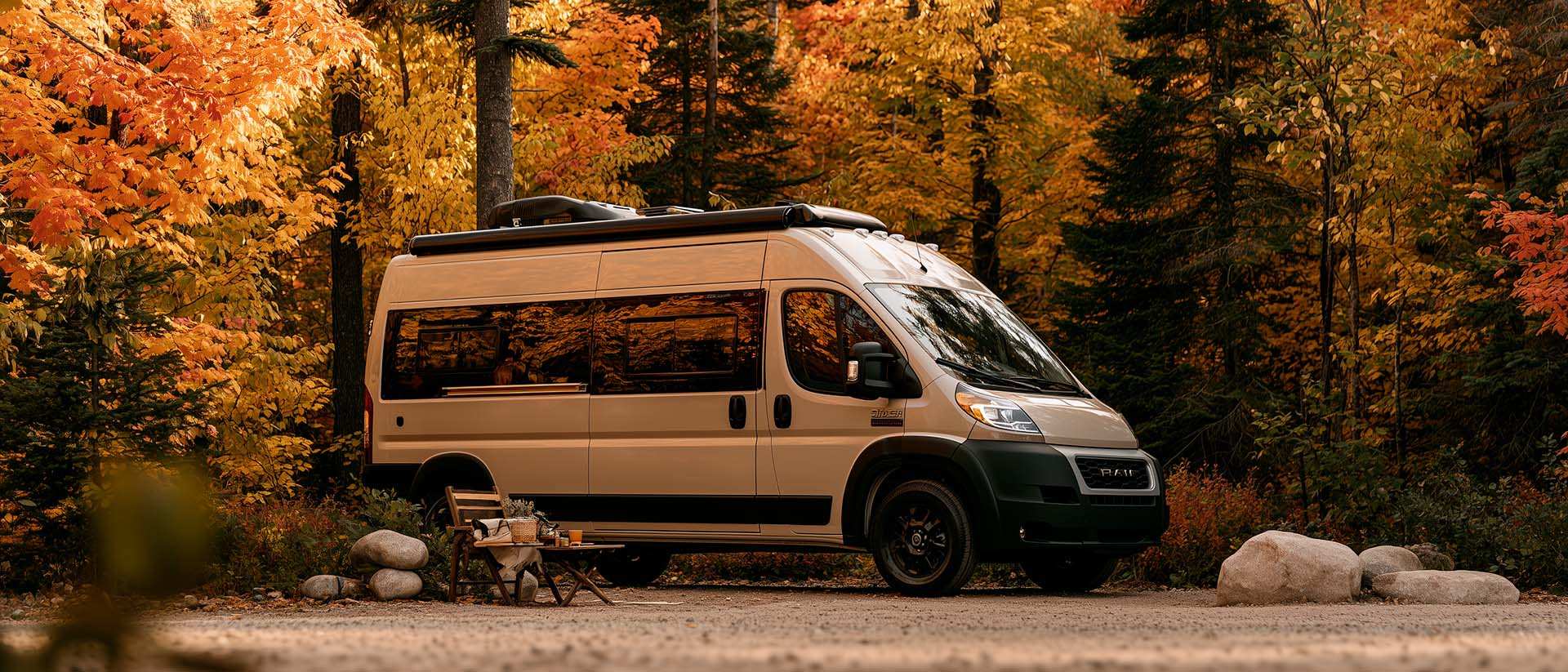
What Is Boondocking?
You've seen the word everywhere — on social media, in RV Facebook groups, on our own map — but you're not quite sure what it actually means?
Gas Price Converter Canada USA
Compare gas prices between Canada and the U.S., liters and gallons included.
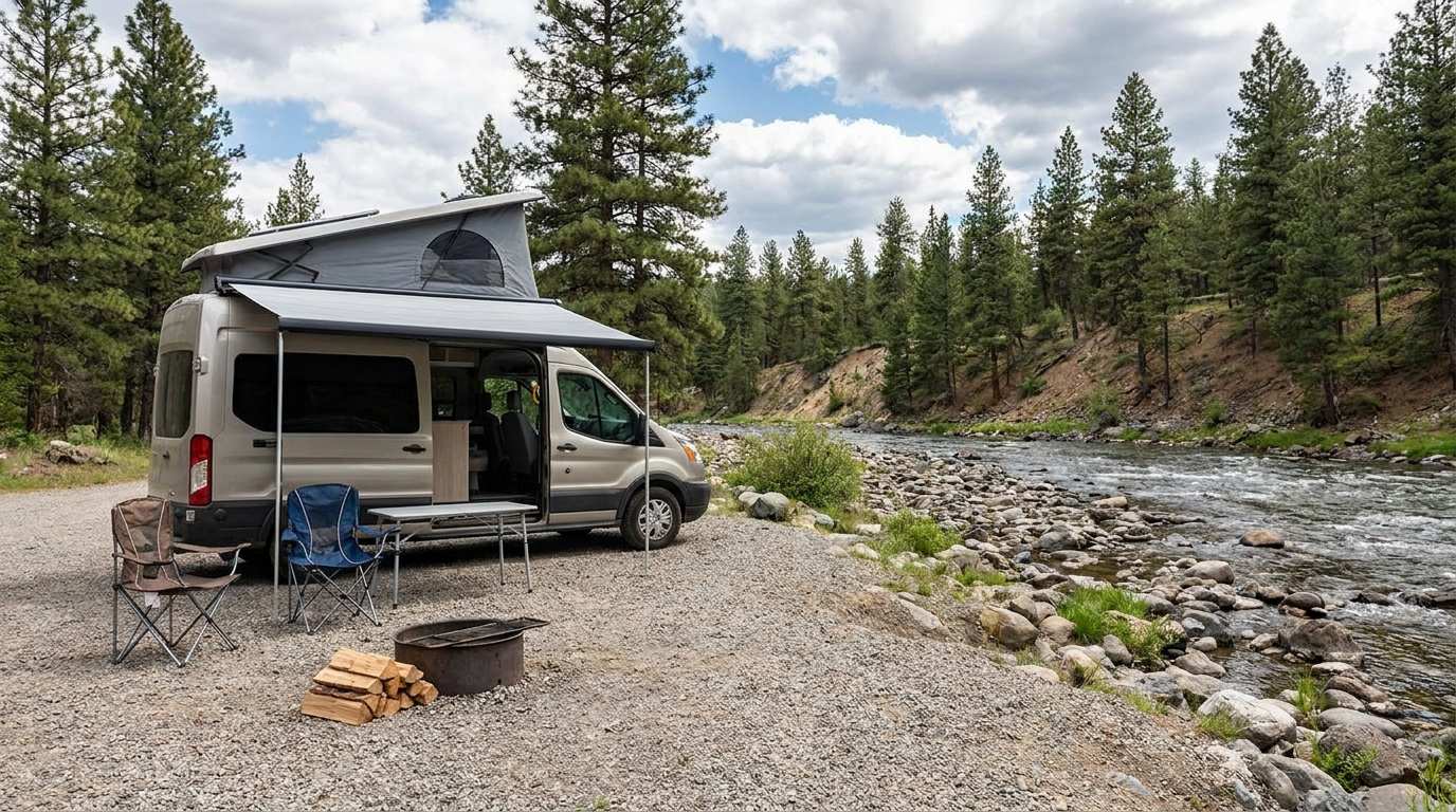
Discover free camping spots for recreational vehicles in Quebec, Canada, and the United States.
Discover the best free camping spots in Quebec, Canada, and the United States with our interactive map. Share and add your own boondocking locations!