

Home › Canada › Colombie-Britannique › Area C (Long Beach) › 🏷️ Gratuit
The big stopping point -- Area C (Long Beach), British Columbia
✍️ Suggested by Contributeur 123Go
Location Map
Description
Spacious area on Highway 4, equipped with a steel barrier. Large enough to accommodate a recreational vehicle or several vans. Quiet spot, but it's advisable to leave early in the morning.
🕐 Latest comments
Photo Gallery
🔒 Become a Contributor to see all photos and enjoy the site ad-free.
Become a Contributor
📍 Nearby Places
- La zone de mise à l'eau pour kayak 🏷️ Gratuit — Area C (Long Beach), Colombie-Britannique (0.6 km)
- Eau et toilettes 🏷️ Gratuit — Area C (Long Beach), Colombie-Britannique (2.8 km)
- Parfait Spot au Old Cedar Trail 🏷️ Gratuit — Area C (Long Beach), Colombie-Britannique (5.0 km)
- La clairière en gravier 🏷️ Gratuit — Area C (Long Beach), Colombie-Britannique (6.1 km)
📖 Also Worth Reading

The state of Quebec's lakes: what the latest data says
Your swims and kayaking outings between two nights of camping deserve a healthy lake. Here’s what the latest data from the Government of Quebec reveals about the state of our lakes — and how to choose your next stop by the water.
What Is Boondocking?
You've seen the word everywhere — on social media, in RV Facebook groups, on our own map — but you're not quite sure what it actually means?
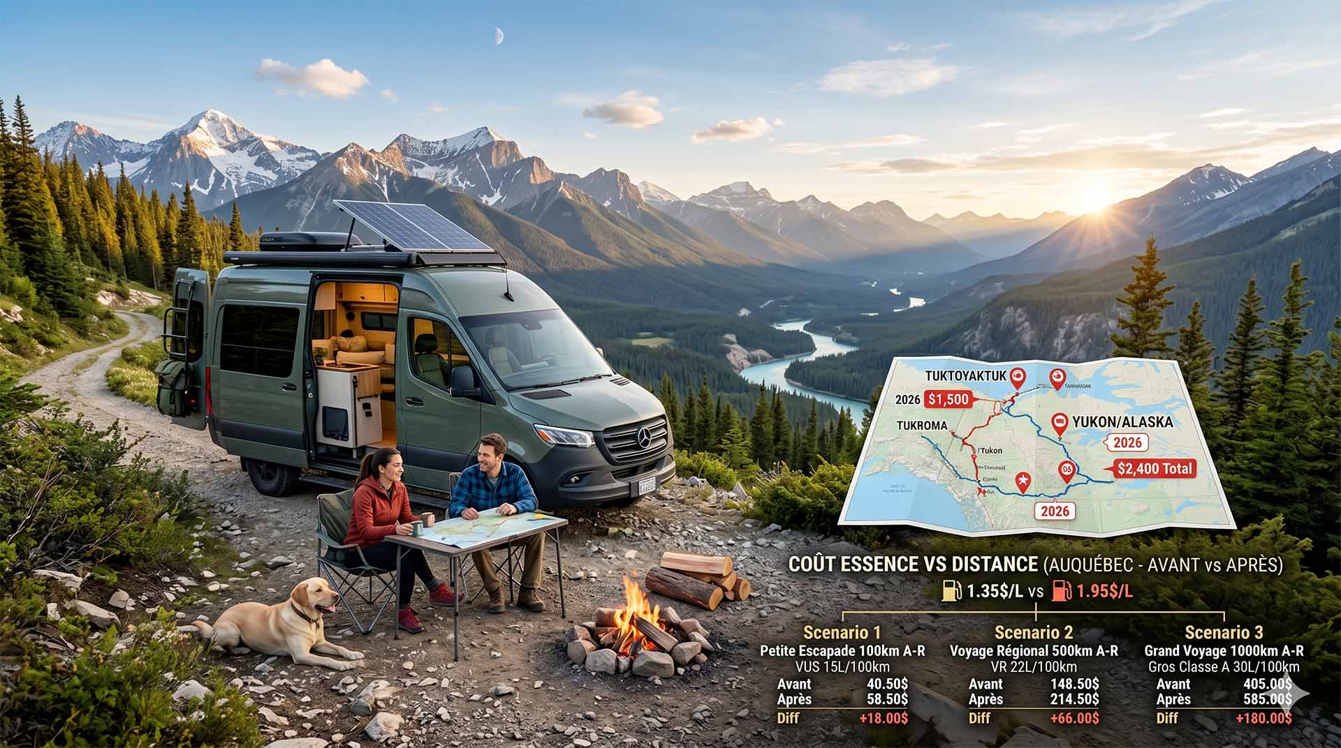
Price Increase: The Mathematical Strategy for Choosing Your Campsite Without Breaking the Bank
Cinq stratégies chiffrées pour choisir son camping intelligemment face à la hausse de l'essence : point de bascule essence/terrain, tactique du semi-servi, zones municipales gratuites et plus.
Fuel consumption calculator
Estimate your RV's fuel consumption based on distance and price per liter.