

Home › Canada › Colombie-Britannique › Leanchoil › 🏷️ Gratuit
Le chemin Beaverfoot
✍️ Suggested by Contributeur 123Go
Location Map
Description
Arrêt avant le km 3 sur une route forestière. Large, adapté aux grands véhicules. Proche de Wapta Falls, mais non accessible aux gros VR.
🕐 Latest comments
Photo Gallery
🔒 Become a Contributor to see all photos and enjoy the site ad-free.
Become a Contributor
📍 Nearby Places
- Pont du chemin Beaverfoot 🏷️ Gratuit — Area A (Kicking Horse/Kinbasket Lake), Colombie-Britannique (1.9 km)
- Clairière près du chemin Kicking Horse 🏷️ Gratuit — Leanchoil, Colombie-Britannique (3.1 km)
- Wapta Falls, Yoho National Park sur Beaverfoot Rd. 🏷️ Attrait touristique — Area A (Kicking Horse/Kinbasket Lake), Colombie-Britannique (5.5 km)
- En bord de route, chemin forestier Beaverfoot 🏷️ Gratuit — Area A (Kicking Horse/Kinbasket Lake), Colombie-Britannique (9.4 km)
📖 Also Worth Reading

The state of Quebec's lakes: what the latest data says
Your swims and kayaking outings between two nights of camping deserve a healthy lake. Here’s what the latest data from the Government of Quebec reveals about the state of our lakes — and how to choose your next stop by the water.
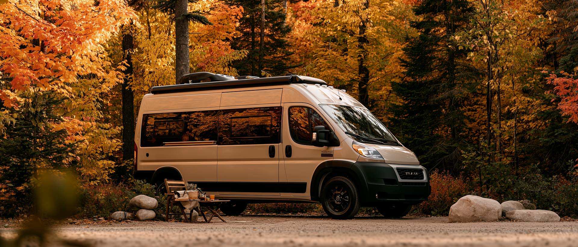
What Is Boondocking?
You've seen the word everywhere — on social media, in RV Facebook groups, on our own map — but you're not quite sure what it actually means?
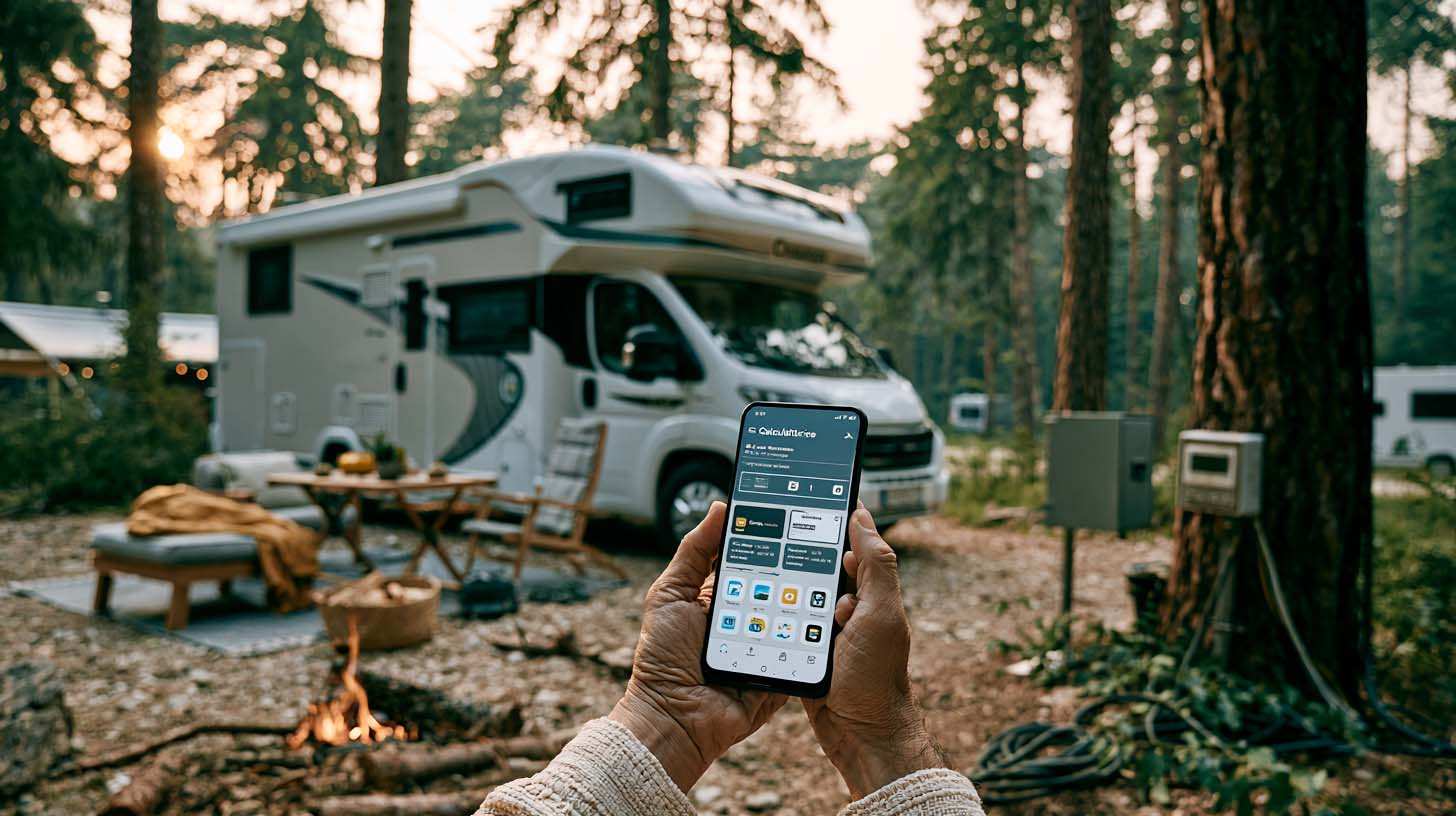
Brake Distance Checker According to Weight
Calculate your vehicle's braking distance based on weight and speed.
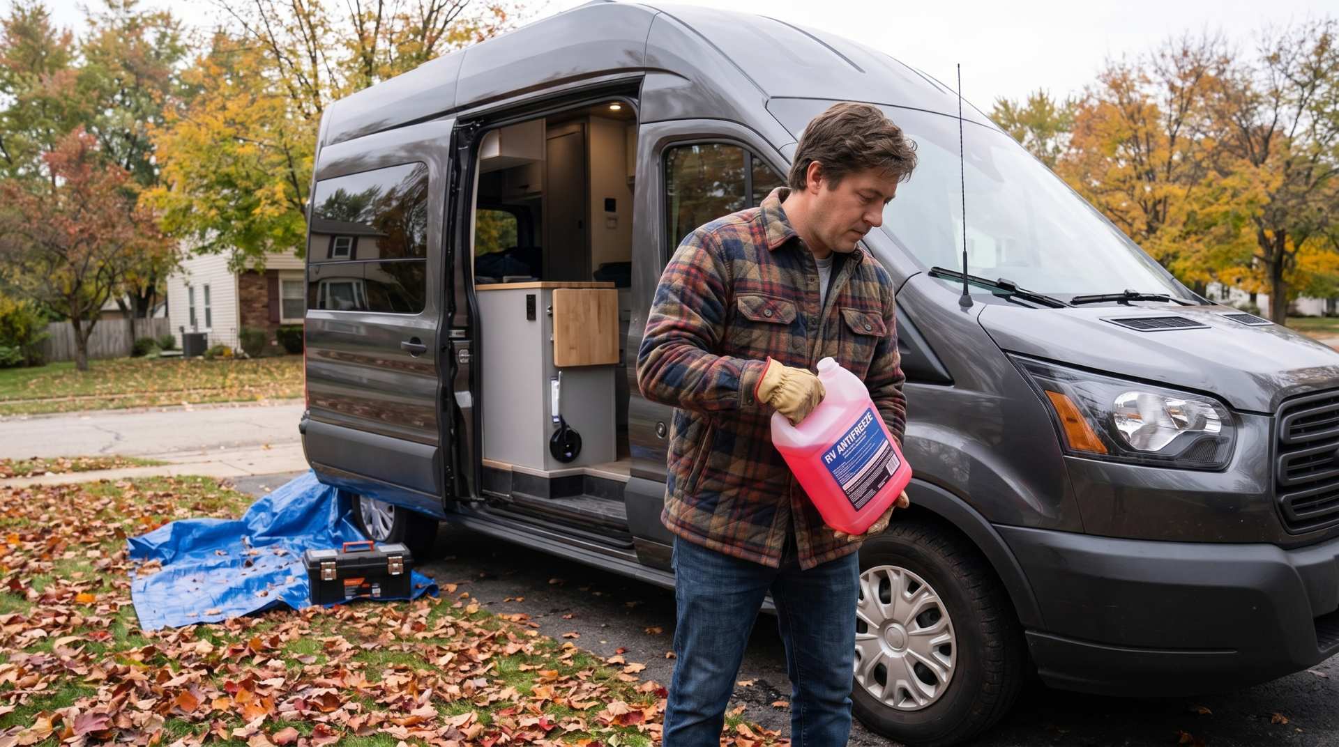
How to prepare your converted van for winter
There are no second chances when it comes to winter storage. A single night at −8 °C with a liter of water forgotten in a pipe elbow, and you’ll discover the damage in the spring — as soon as the pump turns on and sprays the inside of your RV.