

Home › Canada › Colombie-Britannique › Area B (Finlay Valley/Beatton Valley) › 🏷️ Camping sauvage
Ruisseau Bougie
✍️ Suggested by Contributeur 123Go
Location Map
Description
Le ruisseau Bougie se situe au bord de la rivière, juste avant le pont en direction du nord. Assurez-vous de respecter les lieux et la nature, en ne laissant rien derrière vous.
🕐 Latest comments
Photo Gallery
🔒 Become a Contributor to see all photos and enjoy the site ad-free.
Become a Contributor
📍 Nearby Places
- Champ au bord de l'autoroute 🏷️ Gratuit — Area B (Finlay Valley/Beatton Valley), Colombie-Britannique (3.5 km)
- Juste à côté de la route. Accès facile. 🏷️ Gratuit — Area B (Finlay Valley/Beatton Valley), Colombie-Britannique (5.2 km)
- Aérodrome de la route de l'Alaska Prophet Rivière Area B (Finlay Valley/Beatton Valley), Colombie-Britannique (7.3 km)
- Camping en gravier en haut de la colline 🏷️ Camping établi — Trutch, Colombie-Britannique (41.0 km)
📖 Also Worth Reading
Unit converter (length, weight, volume)
Quickly convert length, weight, and volume between imperial and metric.
What Is Boondocking?
You've seen the word everywhere — on social media, in RV Facebook groups, on our own map — but you're not quite sure what it actually means?
BLM Land in the U.S.: Free Camping, Length of Stay, and LTVAs
What is BLM land, how long can you camp there for free, and how do LTVAs work to stay longer? The full guide before heading out to winter in the American Southwest.
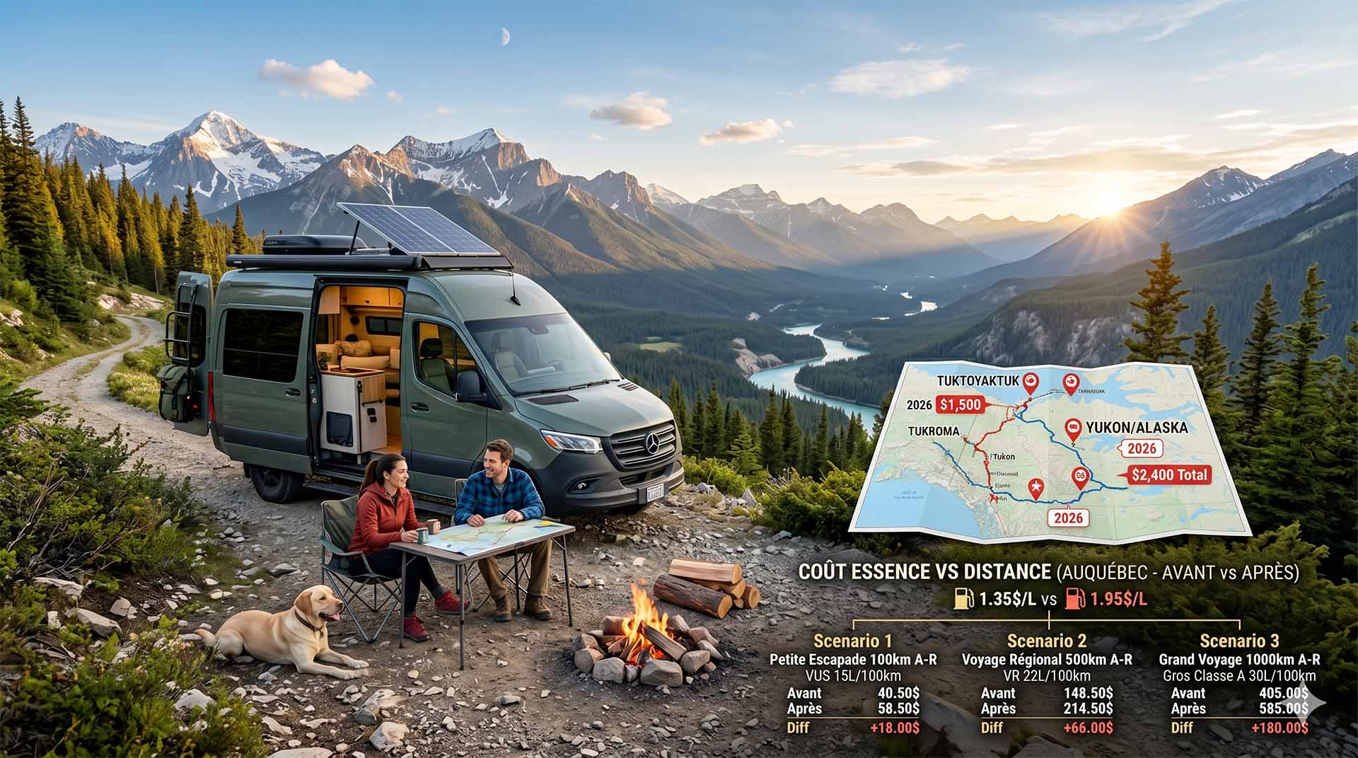
Price Increase: The Mathematical Strategy for Choosing Your Campsite Without Breaking the Bank
Cinq stratégies chiffrées pour choisir son camping intelligemment face à la hausse de l'essence : point de bascule essence/terrain, tactique du semi-servi, zones municipales gratuites et plus.