

Home › États-Unis › Colorado › Texas Creek › 🏷️ Gratuit
Fin de la route. 6040A
✍️ Suggested by A-i
Location Map
Description
Site en hauteur avec foyer, accessible uniquement par un véhicule à haut dégagement. Altitude : 2785 m. Respectez la nature et ne laissez rien derrière vous.
🕐 Latest comments
Photo Gallery
🔒 Become a Contributor to see all photos and enjoy the site ad-free.
Become a Contributor
📍 Nearby Places
- La rivière Arkansas 🏷️ Gratuit — Cotopaxi, Colorado (10.5 km)
- Five Points – camping 🏷️ Camping établi — Parkdale, Colorado (14.2 km)
- Five 1/2 Points 🏷️ Gratuit — Parkdale, Colorado (14.6 km)
- Vallie Bridge – camping 🏷️ Camping établi — Coaldale, Colorado (16.2 km)
📖 Also Worth Reading
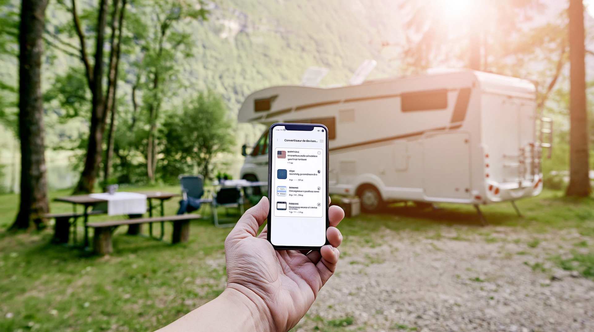
Tank capacity calculator for your RV
Learn how to assess the capacity of your water tanks for a successful RV trip.
What Is Boondocking?
You've seen the word everywhere — on social media, in RV Facebook groups, on our own map — but you're not quite sure what it actually means?
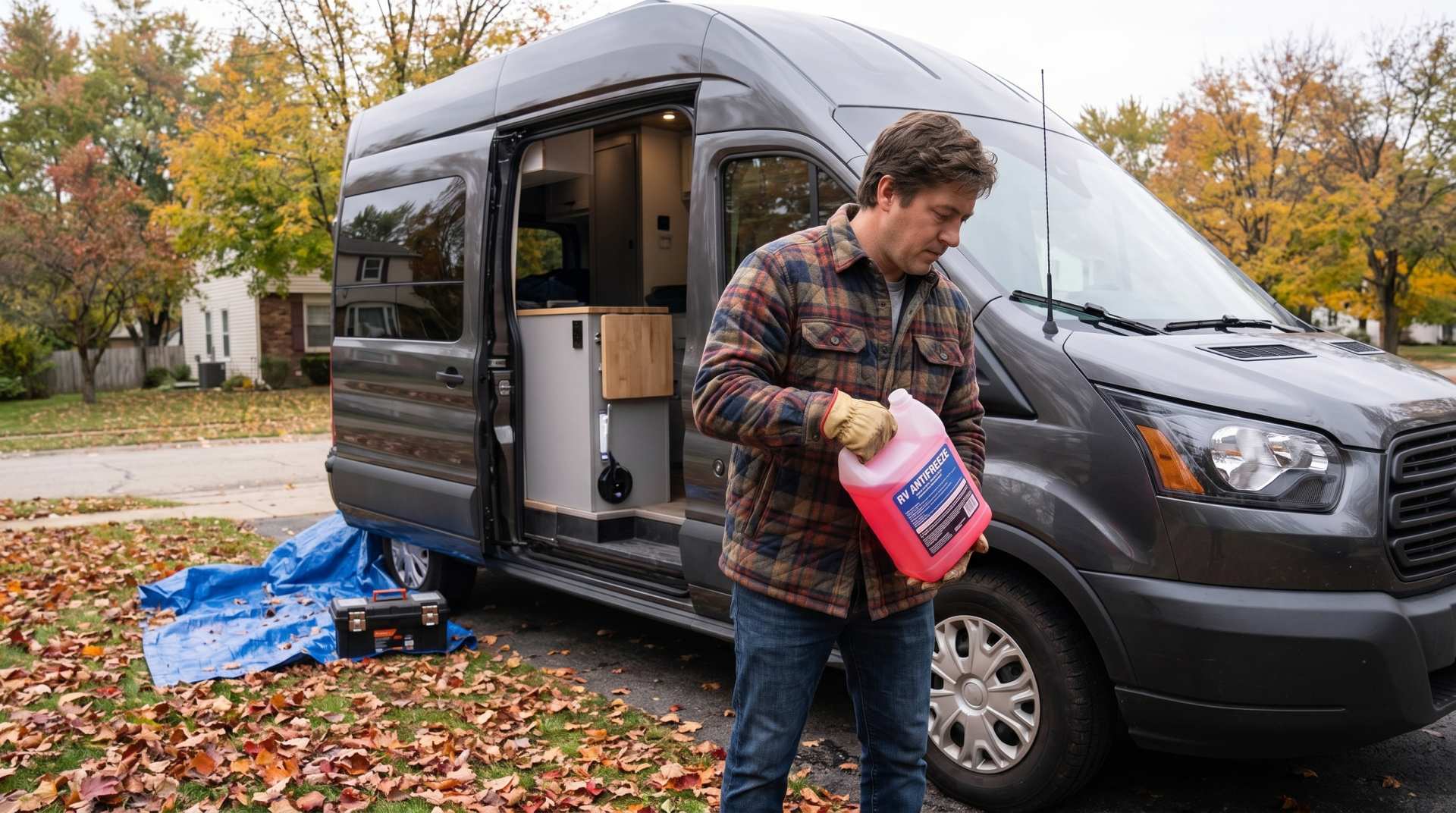
How to prepare your converted van for winter
There are no second chances when it comes to winter storage. A single night at −8 °C with a liter of water forgotten in a pipe elbow, and you’ll discover the damage in the spring — as soon as the pump turns on and sprays the inside of your RV.
Fuel consumption calculator
Estimate your RV's fuel consumption based on distance and price per liter.