

Home › États-Unis › Colorado › Silverton › 🏷️ Gratuit
Route CR14
✍️ Suggested by Contributeur 123Go
Location Map
Description
Site isolé en haut de la montagne, accès difficile nécessitant un véhicule à haut dégagement. (Altitude: 3478 m; Point d'eau non potable sur place)
🕐 Latest comments
Photo Gallery
🔒 Become a Contributor to see all photos and enjoy the site ad-free.
Become a Contributor
📍 Nearby Places
- Route CR-820 🏷️ Gratuit — Silverton, Colorado (0.7 km)
- Emplacement de camping près du ruisseau 🏷️ Gratuit — Ironton, Colorado (14.0 km)
- Base du col Engineer 🏷️ Gratuit — Ouray, Colorado (14.7 km)
- Camping dispersé sur Grouse Gulch 🏷️ Gratuit — Animas Forks, Colorado (14.9 km)
📖 Also Worth Reading
Unit converter (length, weight, volume)
Quickly convert length, weight, and volume between imperial and metric.
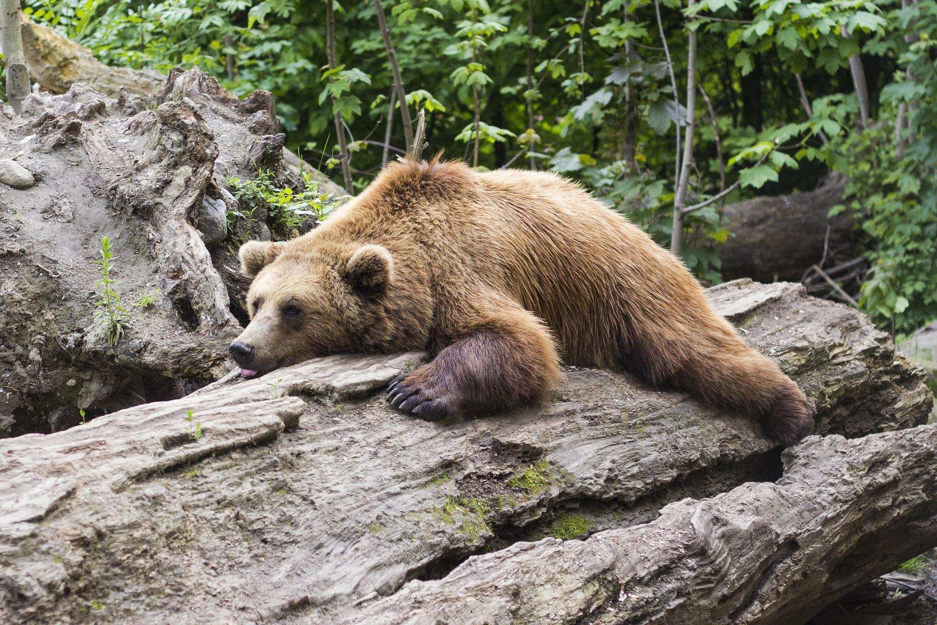
Learn how to properly use bear repellents.
How to choose and use bear spray correctly when camping in the backcountry.
What Is Boondocking?
You've seen the word everywhere — on social media, in RV Facebook groups, on our own map — but you're not quite sure what it actually means?
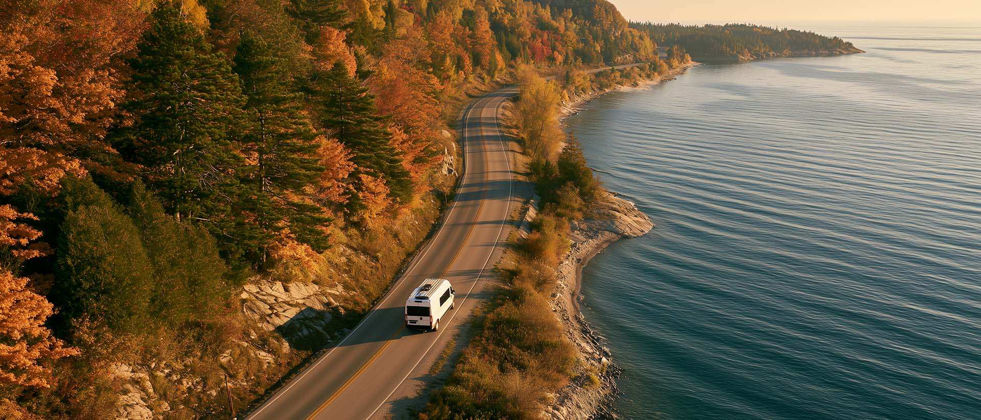
What to Do in Québec in October
October 2026 in Québec by RV: fall colours at their peak, Thanksgiving, off-season rates, and the last festivals before campgrounds close for the season.