

Home › États-Unis › Utah › Moab › 🏷️ Parc d'État
Parc national de Canyonlands
✍️ Suggested by 123Go.Quebec
Location Map
Description
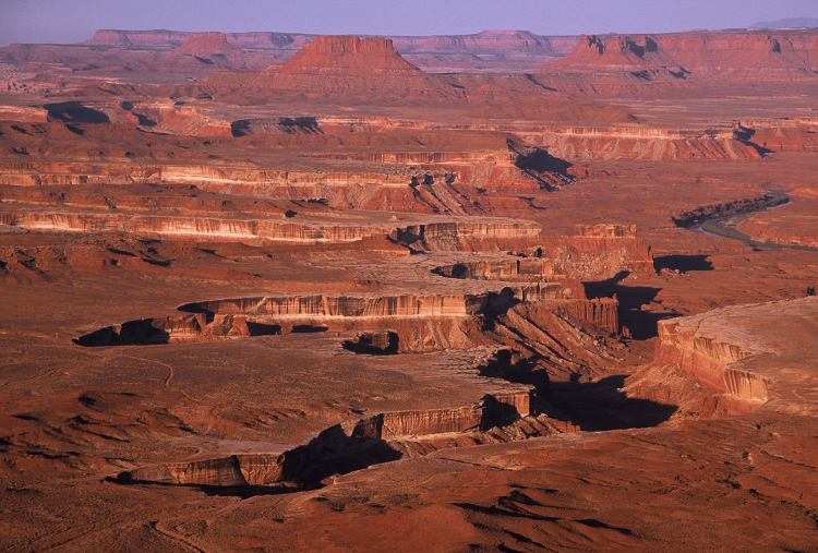
Le secteur Island in the Sky perche les visiteurs sur une vaste mesa dominant de 600 m les canyons sculptés par le Colorado et la Green River. Le point de vue de Mesa Arch, célèbre au lever du soleil, compte parmi les panoramas les plus vertigineux de l'Utah. Un petit camping (Willow Flat, sans eau) permet d'y séjourner en VR.
🕐 Latest comments
Photo Gallery
🔒 Become a Contributor to see all photos and enjoy the site ad-free.
Become a Contributor
📍 Nearby Places
- Camping Dead Horse Point State Park – près de Moab, Utah 🏷️ Parc d'État — San Juan County, Utah (7.5 km)
- Long Canyon Road – camping dispersé gratuit 🏷️ Gratuit — Moab, Utah (12.4 km)
- Mineral Point Road (BLM 340) – Camping boondocking gratuit à Moab, Utah 🏷️ Gratuit — Grand County, Utah (14.6 km)
- Hatch Point Road 🏷️ Gratuit — San Juan, Utah (18.0 km)
📖 Also Worth Reading
Unit converter (length, weight, volume)
Quickly convert length, weight, and volume between imperial and metric.
Convert a distance between kilometers and miles
Convert a distance between kilometers and miles with one click.
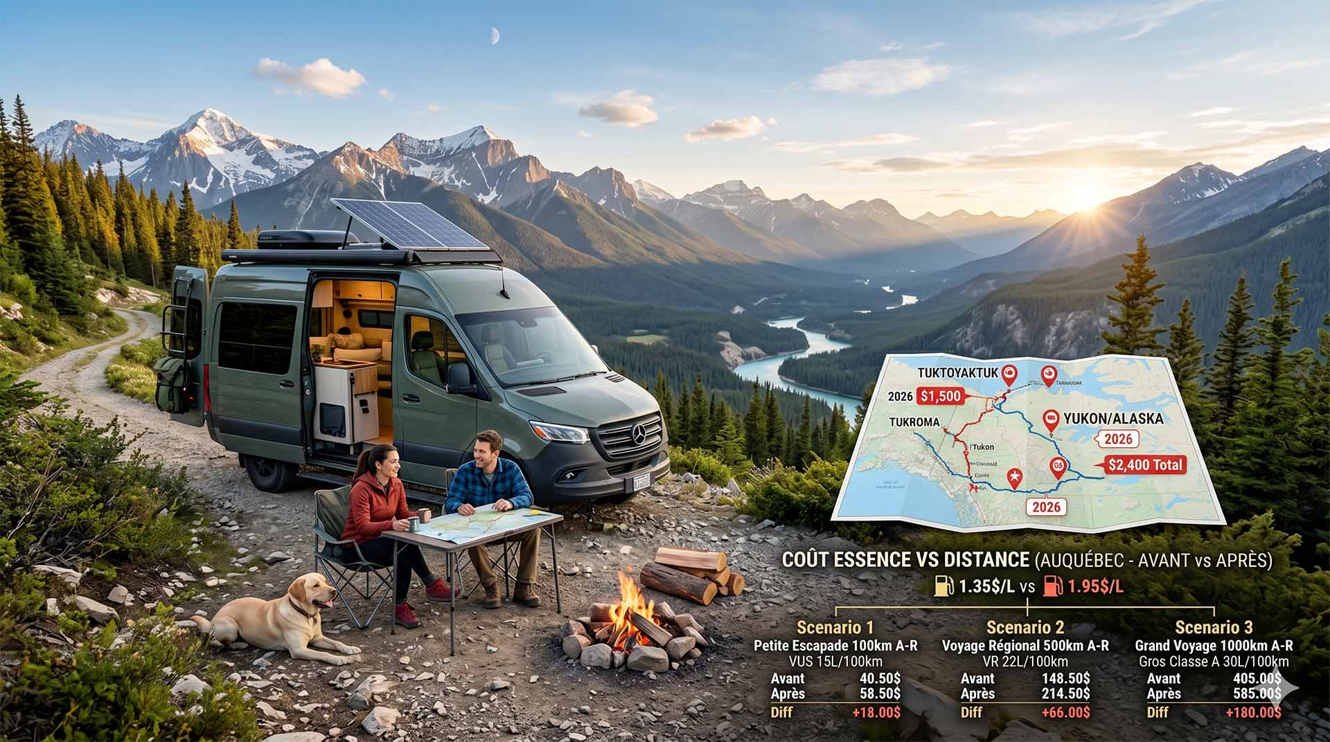
Price Increase: The Mathematical Strategy for Choosing Your Campsite Without Breaking the Bank
Cinq stratégies chiffrées pour choisir son camping intelligemment face à la hausse de l'essence : point de bascule essence/terrain, tactique du semi-servi, zones municipales gratuites et plus.
Brake Distance Checker According to Weight
Calculate your vehicle's braking distance based on weight and speed.